Sharp Peak has always been on my "To hike list". It took me years to finally conquer this treacherous hike. Why the long wait? It is mainly because of work and personal schedules, seeking a good weather to do it and also preparing myself to be fit enough to do this hike. I have only known 2 people who had done this hike before. Is it really that difficult? Let's find out!
ABOUT SHARP PEAK
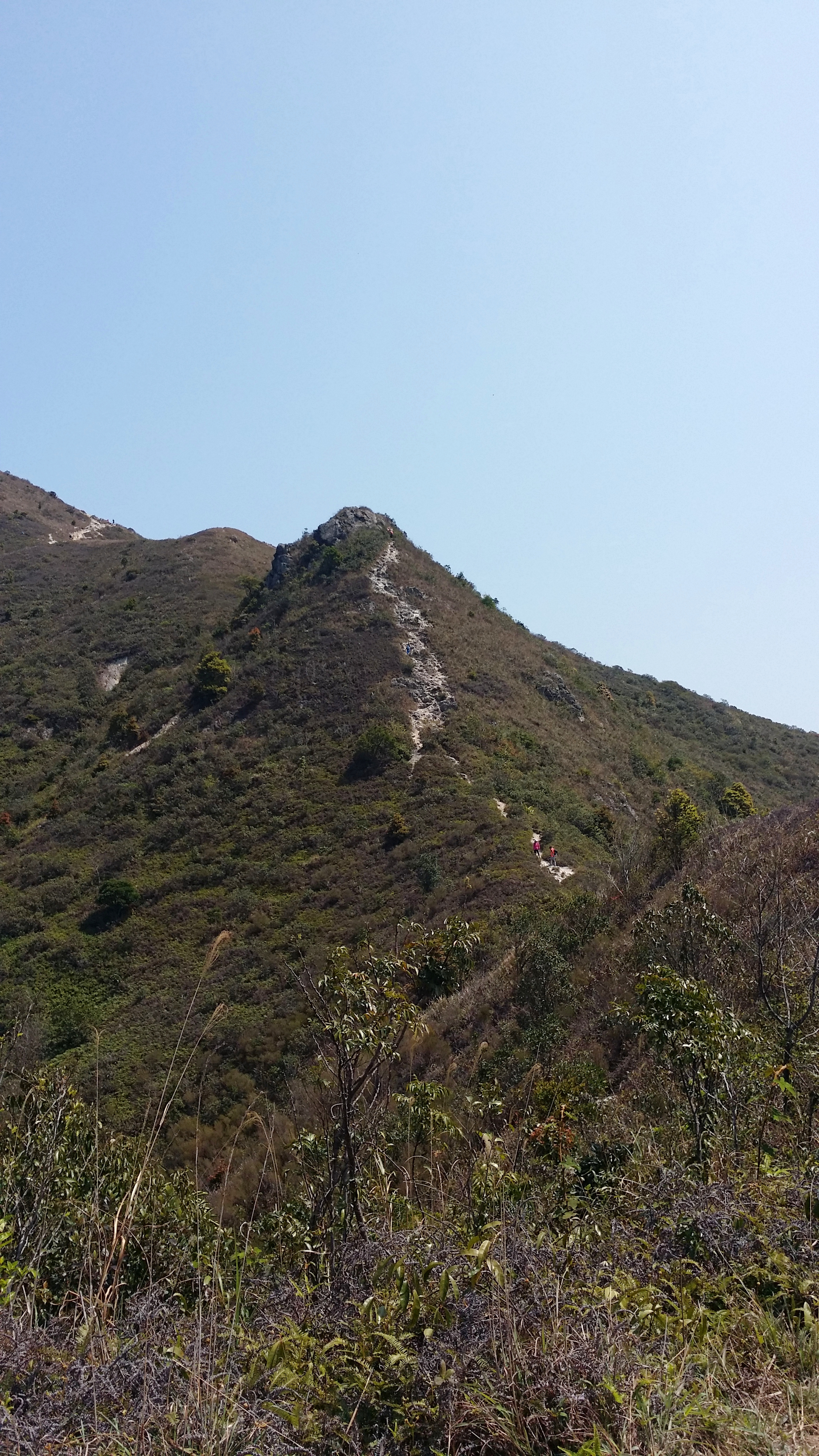
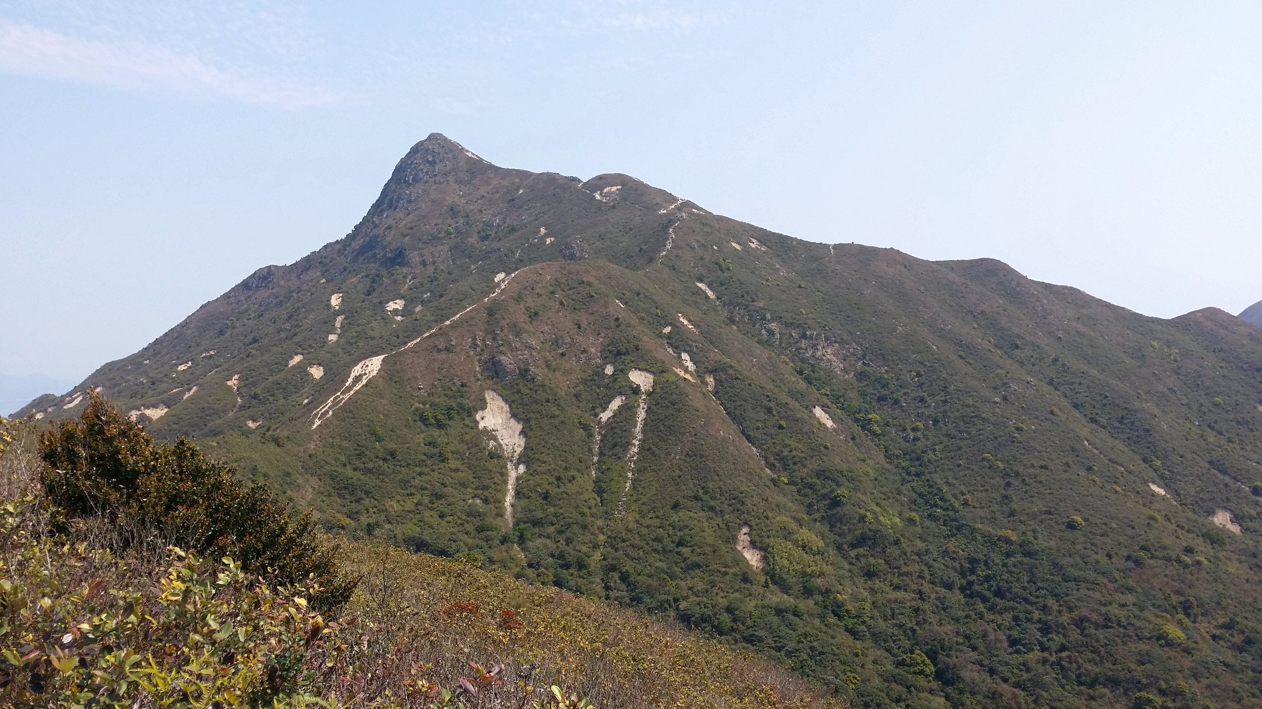
Sharp Peak measures about 468m. It is located in Sai Kung. Sharp Peak has been categorized as one of the toughest hikes in Hong Kong. This spot is famous for many hikers and it also attracts beginner hikers. It is indeed a very challenging hike as it is a very steep hike and the non-stop clambering up and down the hills can be overwhelming.
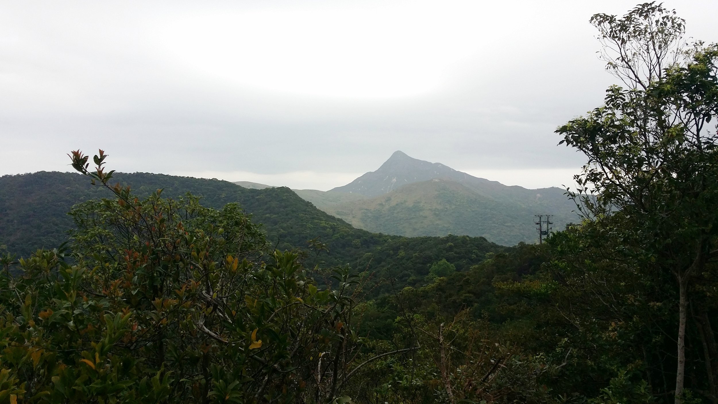
Sharp Peak is visible in most part of Sai Kung. It is not hard to point out which mountain is Sharp Peak as the peak is probably the sharpest one you can see in Sai Kung.
BASIC INFORMATION OF THE HIKE
DURATION - 7 hours
DISTANCE - Around 15-16km
DIFFICULTY LEVEL - Difficult
CELLPHONE/ INTERNET COVERAGE - Everywhere
BEST TIME TO HIKE - Winter or Autumn (Do not go during rainy season)
WATER LEVEL - 2.5L
STARTING POINT - Pak Tam Au
FINISHING POINT - Sai Wan Village
HOW TO GET THERE AND WHAT TO TAKE
EASIEST WAY AND MOST CONVENIENT WAY TO START THE HIKE
Take MTR or bus to Choi Hung MTR (Exit C1) and take green minibus no. 1A. Get off at the last stop in Sai Kung Pier/ Town area. From there, you may take the bus no. 94 and get off at Pak Tam Au.
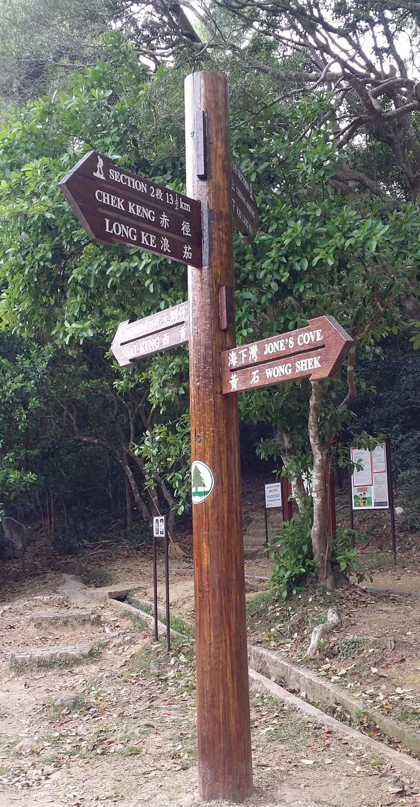
Once you get off the bus, find the sign to Maclehose Section 2 (via Chek Keng). It should be the opposite side of the bus stop. There is a public toilet for you to use before starting the long hike.
ENDING THE HIKE IN SAI WAN VILLAGE
If you are not ending your hike back to the starting point or to Wong Shek Pier or Ham Tin. Then, you may definitely end your hike in Sai Wan Village. From the village, there is boat service to bring you back to Sai Kung Pier, however, the boat service is only available during summer and peak season. You may also take a village minibus back to Sai Kung Town. All you have to do is to hike/ walk a little bit more for at least 30-45 minutes to reach the minibus stop area. During non-peak season, there is only 1 minibus service and it leaves exactly at 4:45 pm sharp.
It is better to ask the people in Sai Wan Village for ways of transportation just to be sure. Frequent transportation in Sai Wan village varies in what season it is.
HIKE DIARY
SAI KUNG TOWN TO PAK TAM AU
As mention in "How to get there and what to take", you may take the bus no. 94 from Sai Kung Town and get off at Pak Tam Au. You may also take a taxi ride if you don't mind paying more. The taxi fare should take around HK$90-120. If you're taking the bus, keep track on the bus stops as the bus ride goes very fast. Once you get off Pak Tam Au, you will see the Machelose signpost to Section 2. You must cross the road and look for the public toilet if you need to take any toilet break before starting your hike.
STARTING POINT - MACLEHOSE SECTION 2 TRAIL TO CHEK KENG
The starting of the hike will take you to a straight path for about half an hour. There will be a little bit of uphill then followed by some downhill. You will pass by Chek Keng and from there you will see many abandoned houses and ruins as you pass through the area. There is a public toilet area for you to take the last toilet break before starting the difficult and long hike.
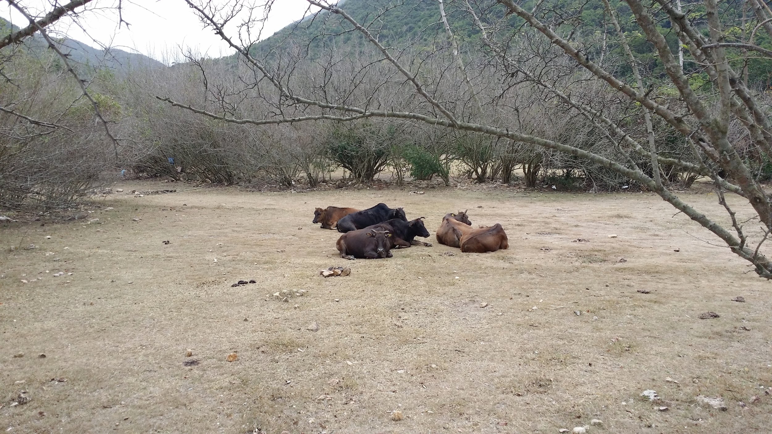
Don't forget to say hello to some cows along the way. They are friendly and they enjoy chilling on the grass.
QUICK REST IN TAI LONG AU
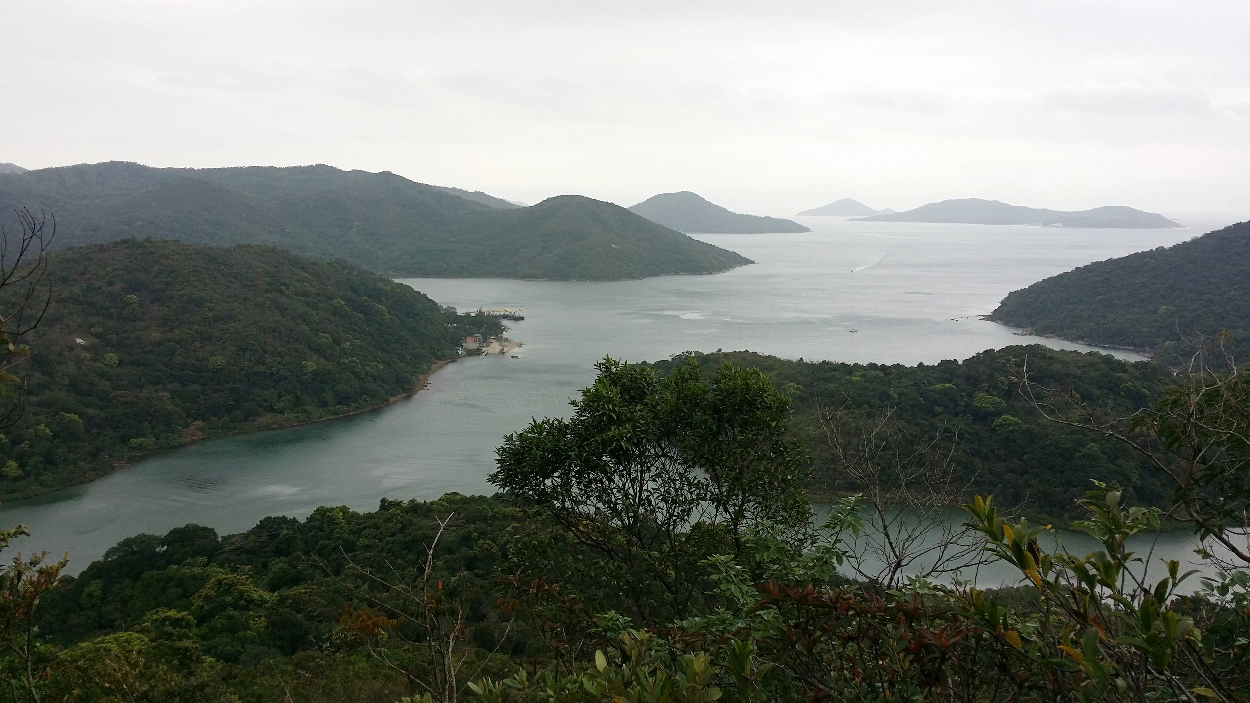
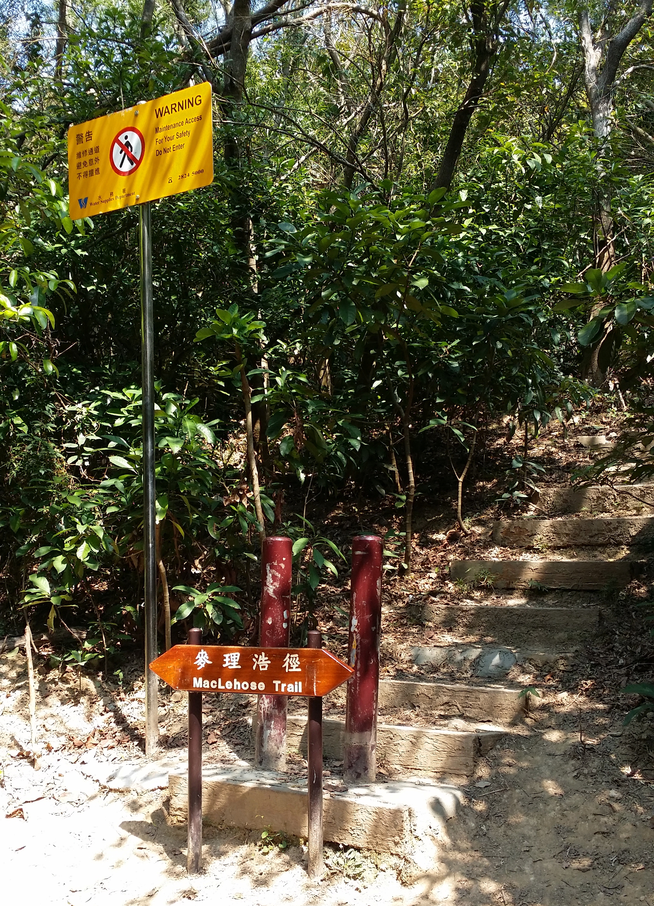
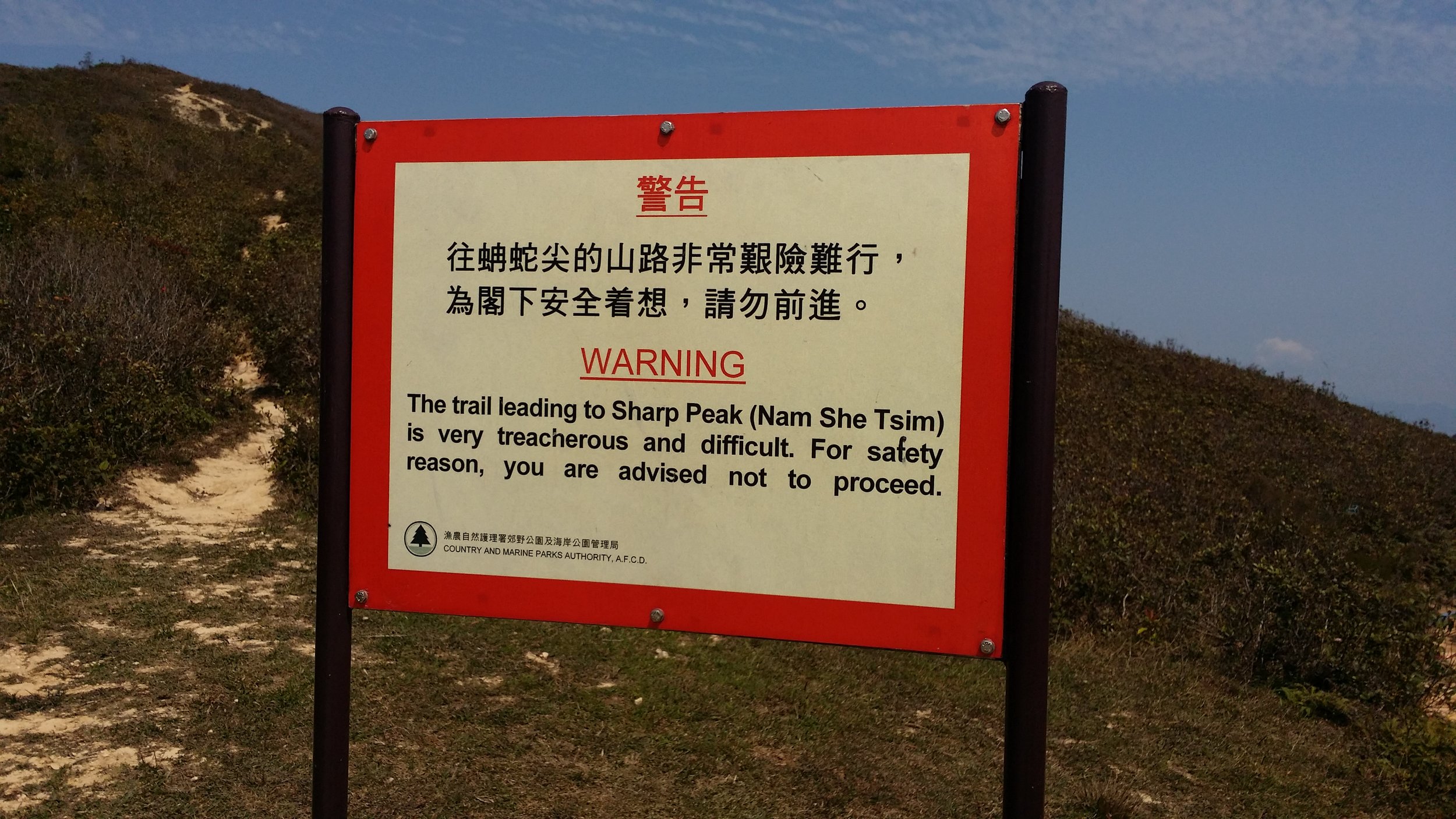
After half an hour or so, you will come across a mini pavilion at Tai Long Au. You can put down your bags and have a quick rest here. On the left side, you may see a warning sign about not proceeding the hike upstairs. In that case, you are on the right path. This is where the Sharp Peak hike begins. The reason why a sign has been put up there is that hiking Sharp Peak is not ideal for everyone. You must be prepared for this hike as it requires a very demanding one.
WATCH OUT FOR THE WARNING SIGNS
As you walk up the unstable stairs, you will come across plenty of warning signs. Once again, you are on the right path if you see those posts. You can also follow the ribbons tied up in the stems. Once you've reached a ridge-like path, you will see a warning signpost again and you must continue hiking on the right side as that this the way to Sharp Peak.
CLAMBERING UP AND DOWN TO SHARP PEAK
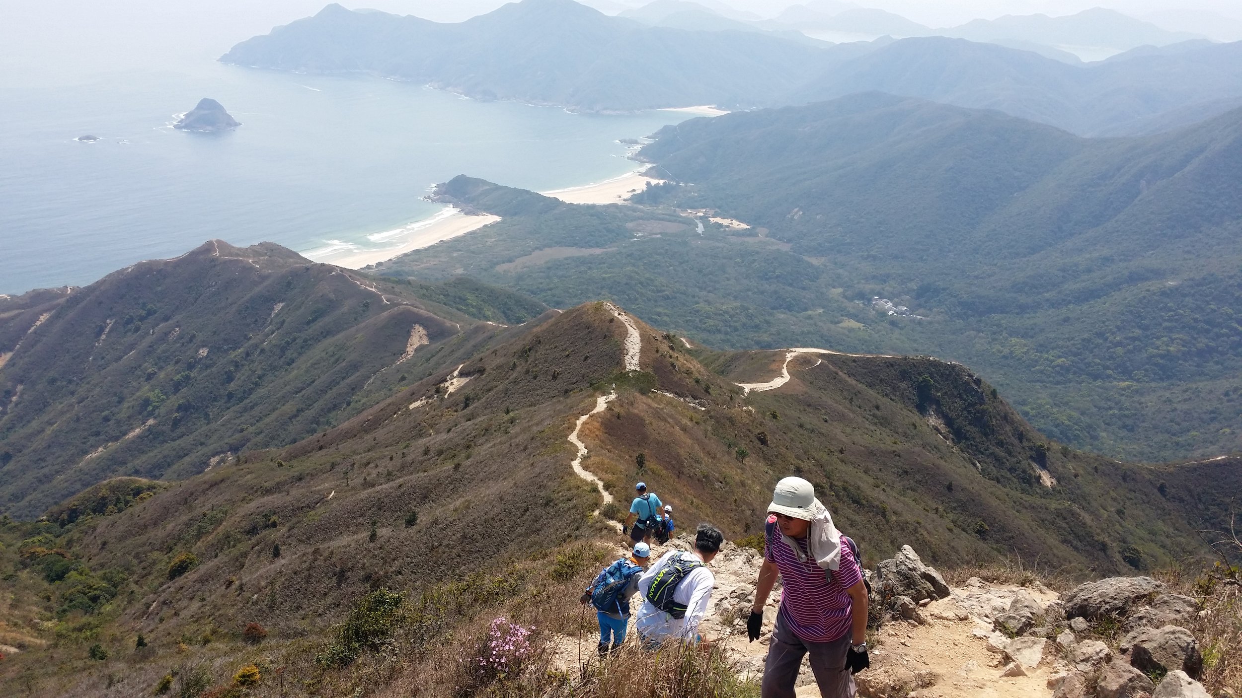
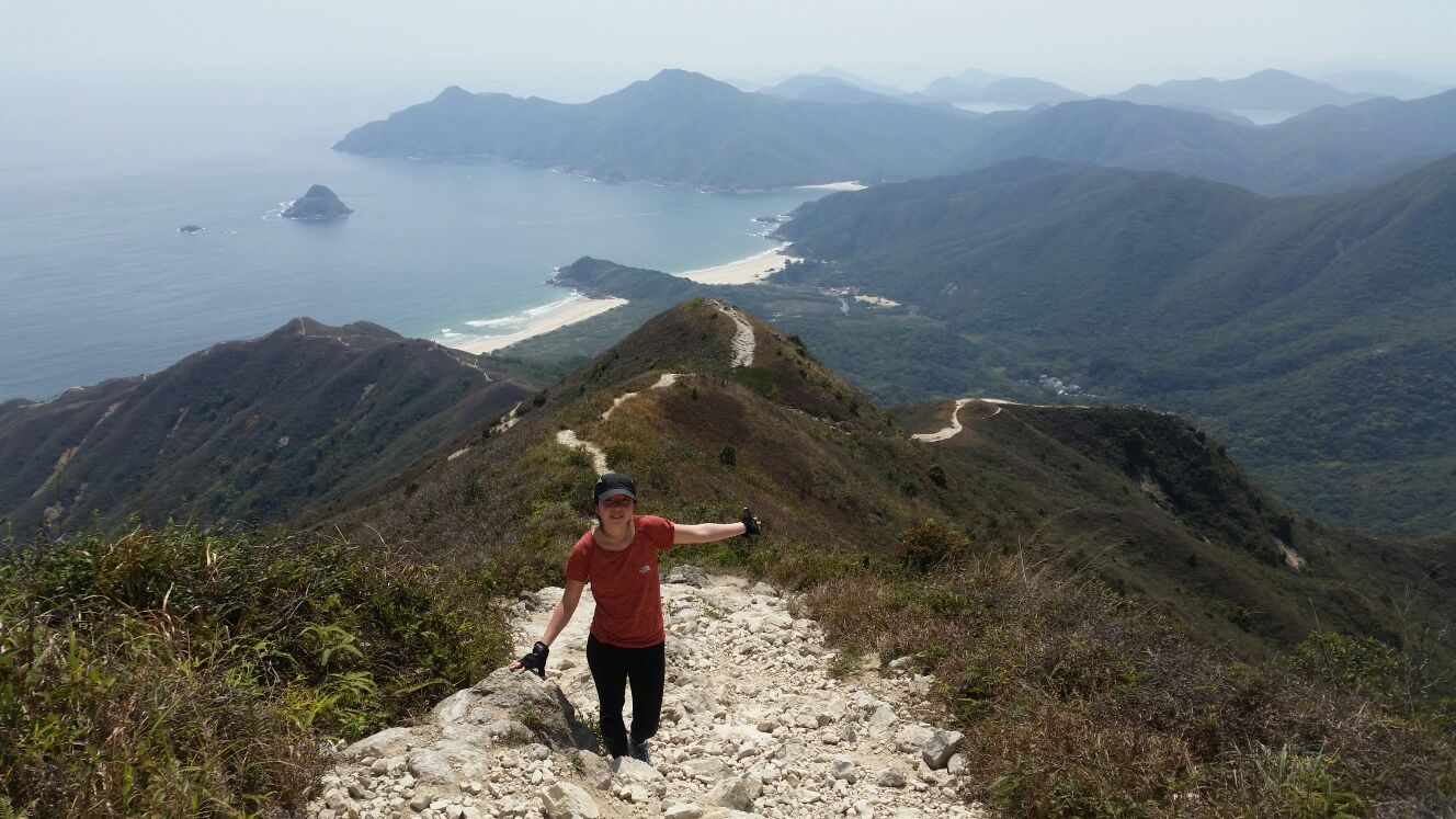
The tricky and hard part begins when you have to start clambering up the hill. It is required to maintain your balance while clambering up. The whole process took me about 1 and a half hour to finish climbing up to the top. The hardest part for me is figuring out which way is the best way to climb. Make sure not to speed up while hiking up, hike at your own pace.
PS: Wear a pair of gloves to protect yourself while clambering up.
A LONG WAY AT MEI FAN TEN
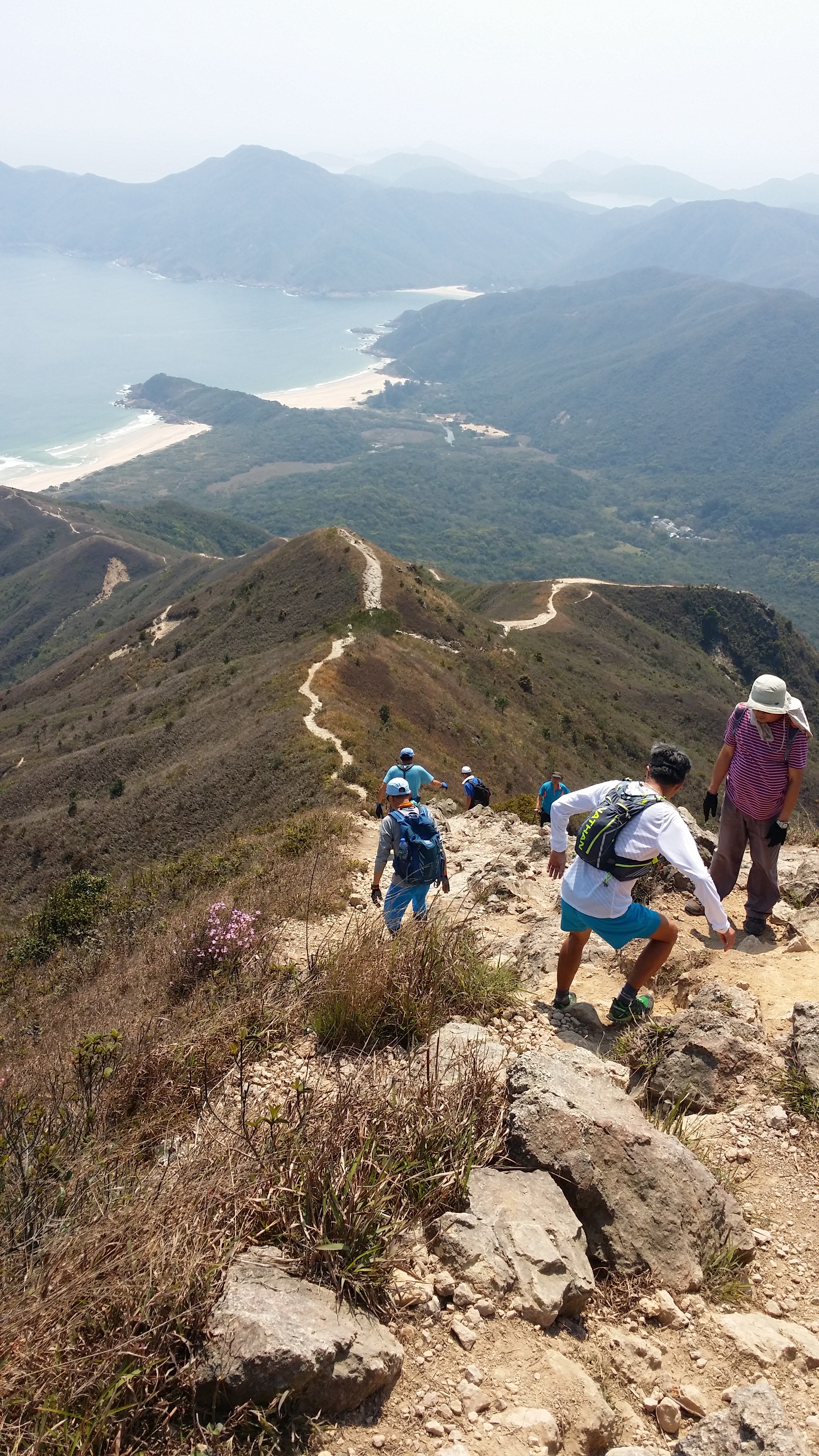
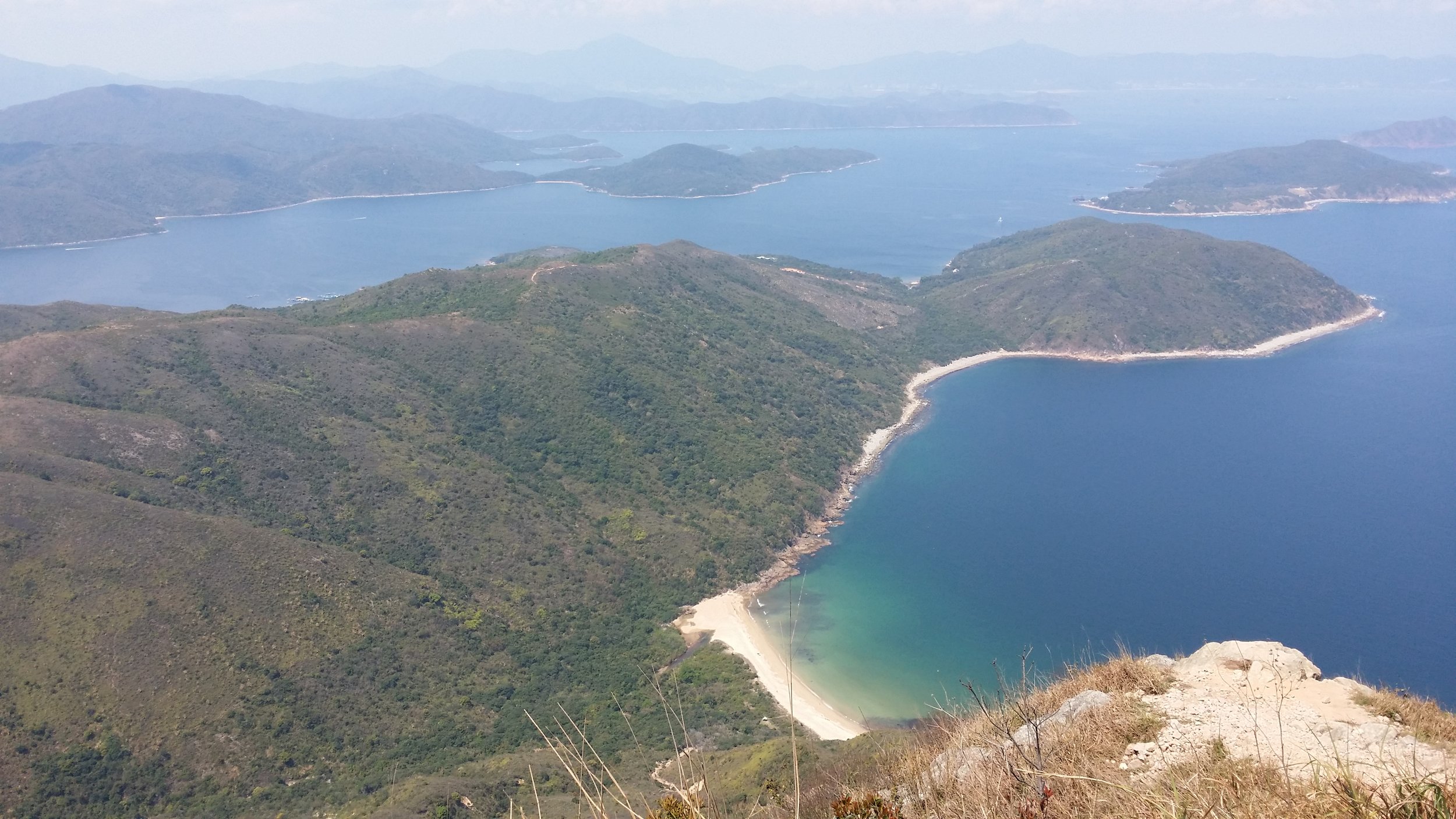
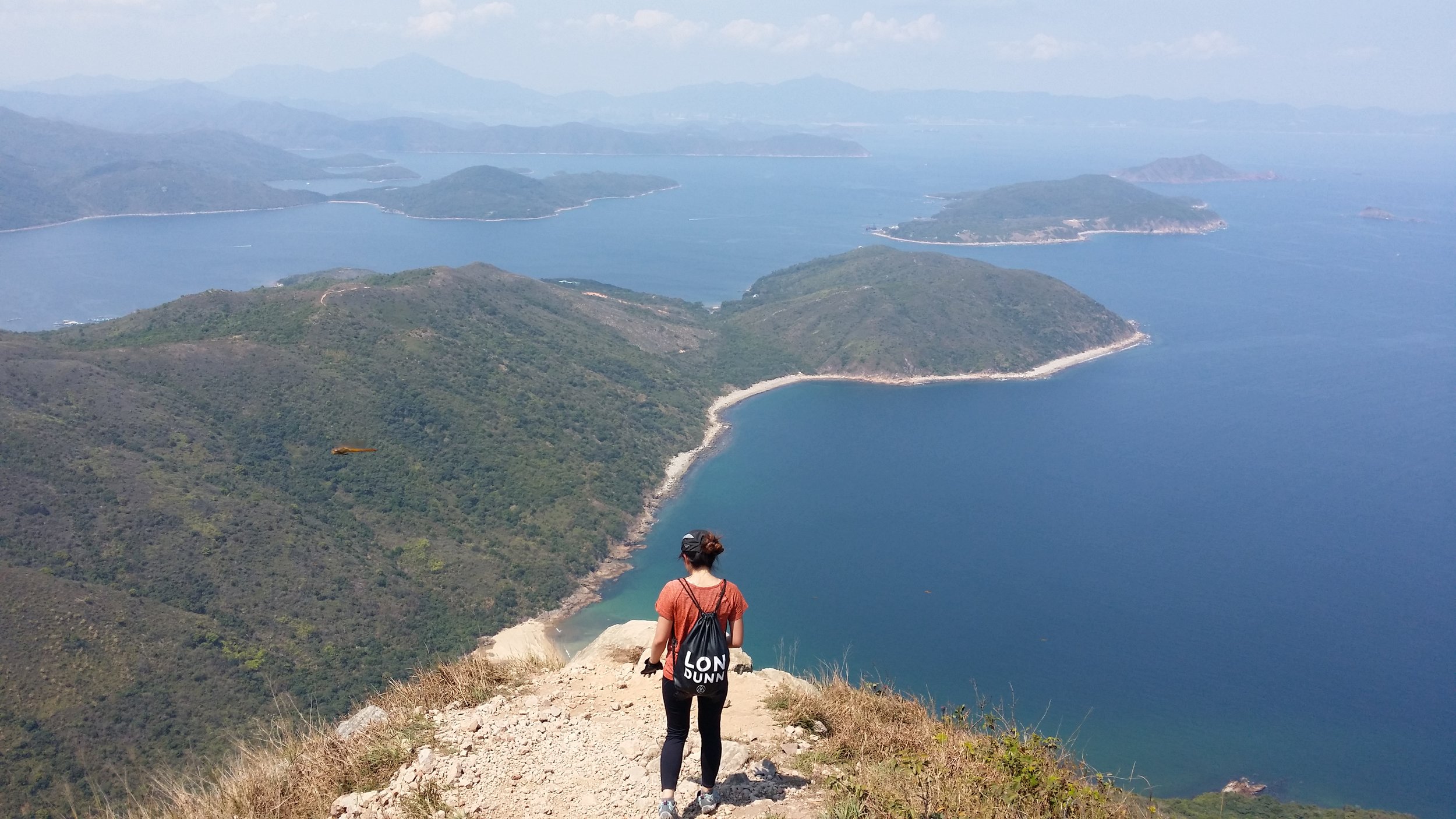
Once you are done admiring the views from the top. You will come across Mei Fan Ten when you descend down. It is a long way down and it is very steep too. Honestly, there were many moments where I was completely sick of how this path took ages to finish. Just when you think that the hill that you are looking at is the last one, then there goes another one at back.
You must be very patient and you must watch out where you step as there are countless of small stones and rocks in the way. Stepping on them would probably be a bad idea and would end up making you slip down.
VIEWS OF TAI WAN BEACH AND HAM TIN BEACH
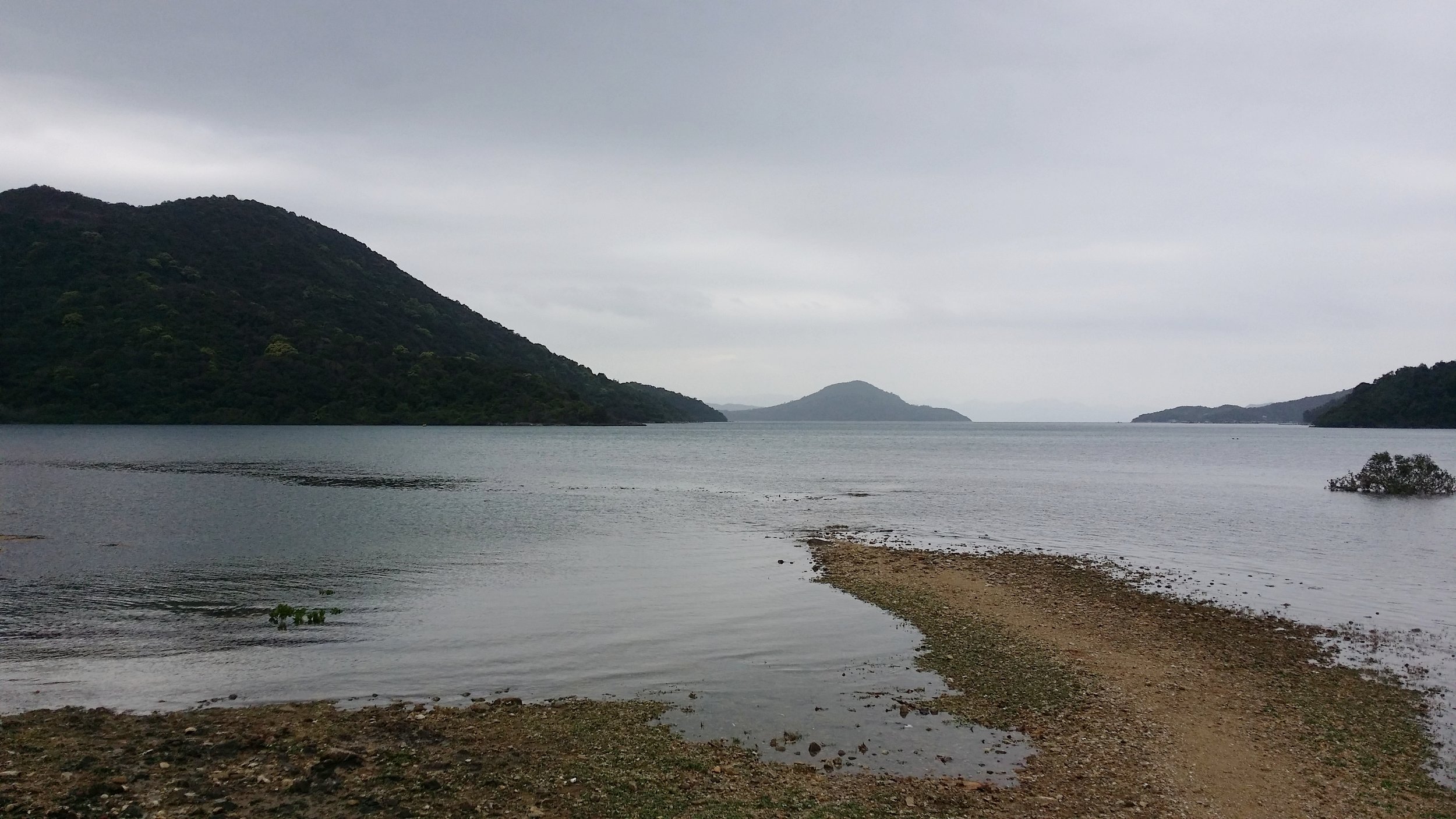
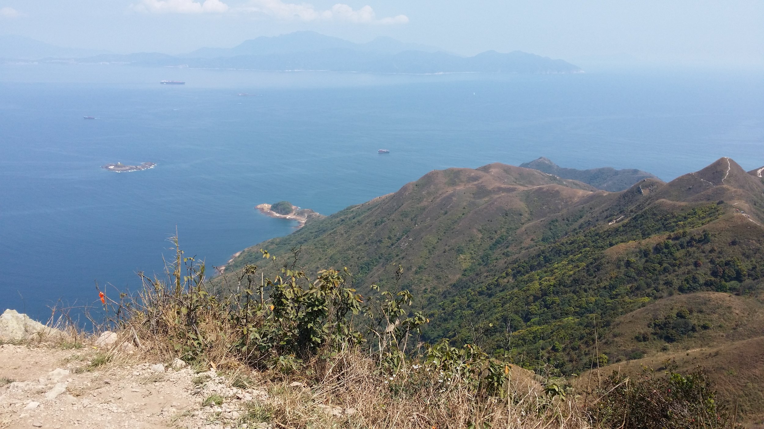
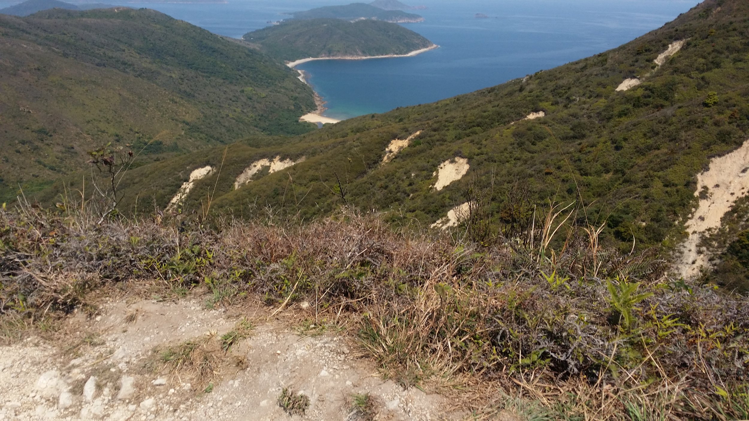
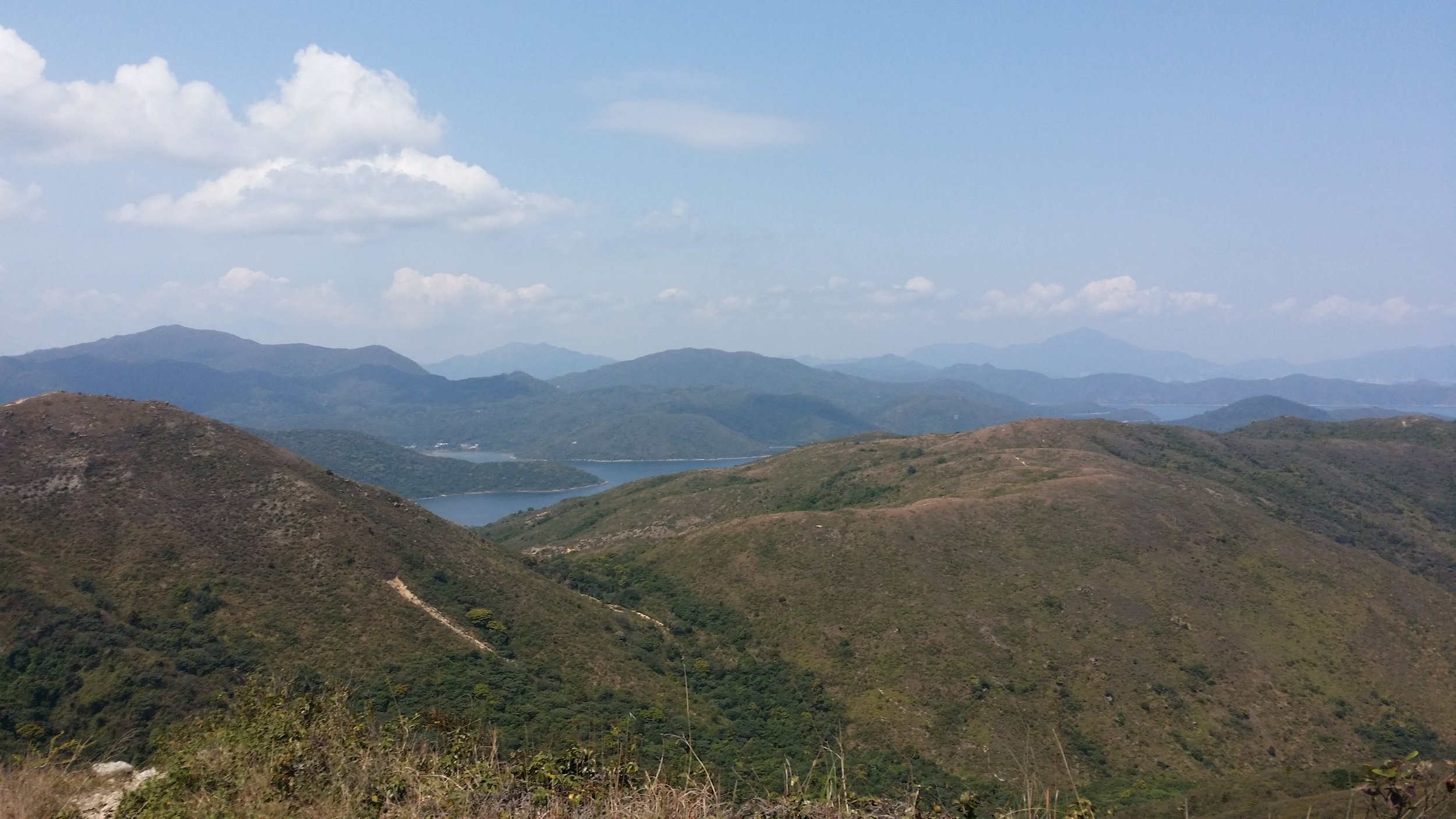
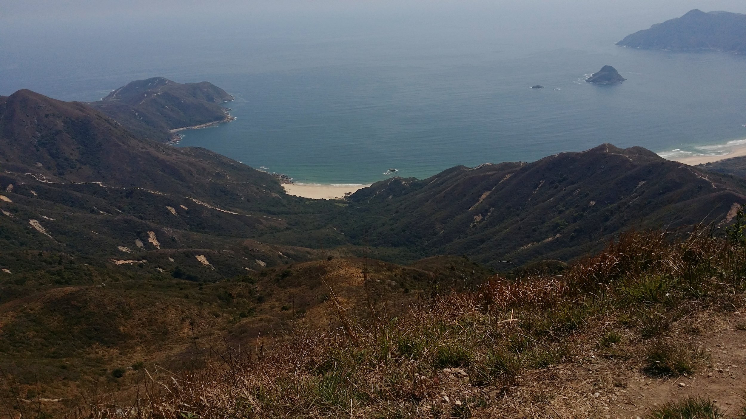
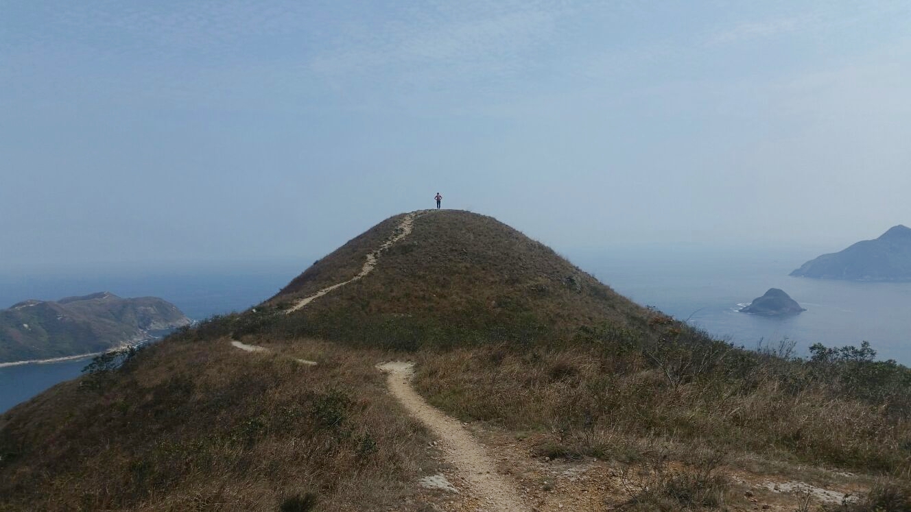
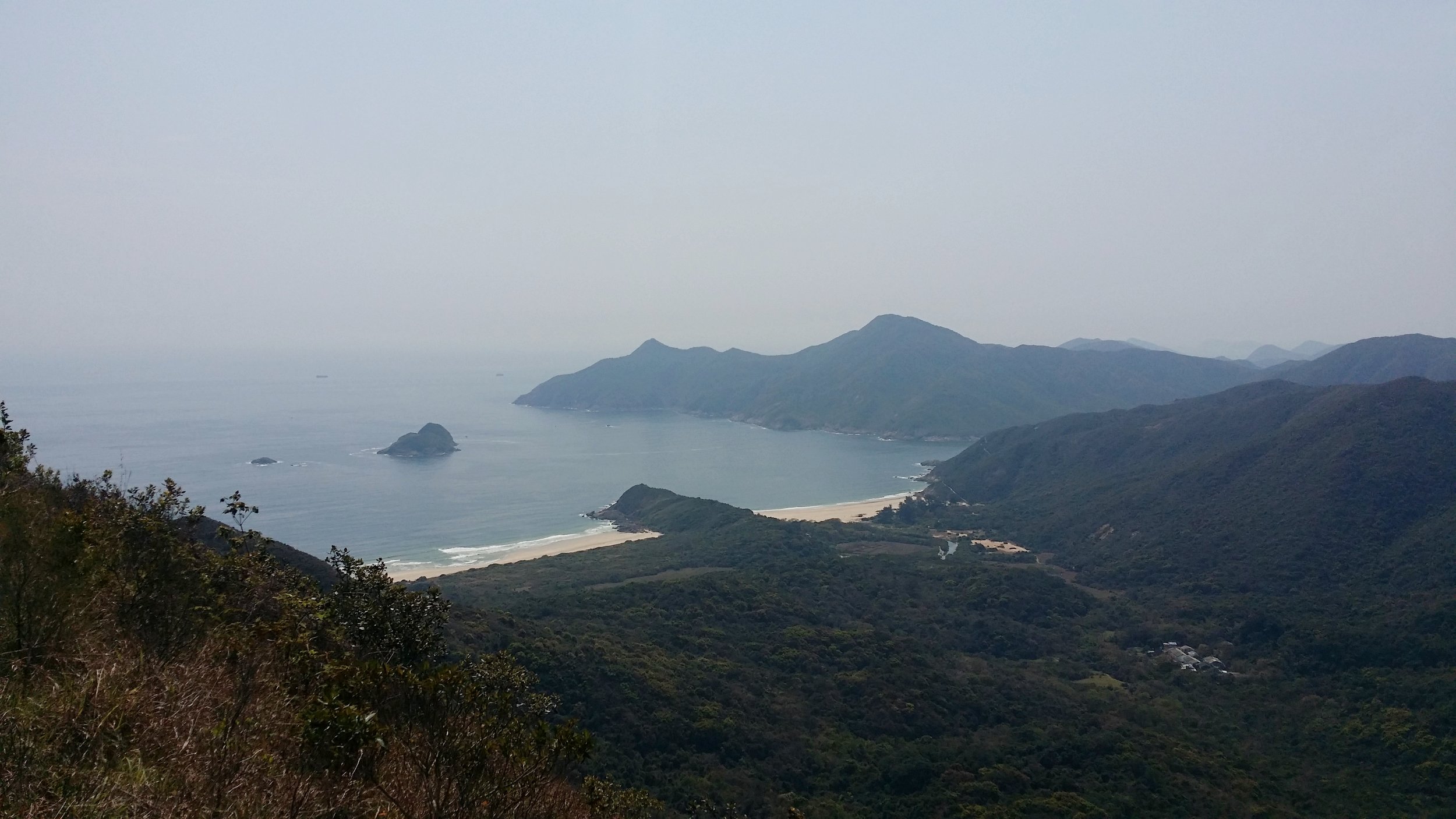
You may enjoy the views of Tai Wan Beach and Ham Tin Beach while you are on your way to Sai Wan. The beaches are very clear and not very crowded. The beaches remind of an island in the Philippines called Malaspacua Island. It is as calm and beautiful as this 2 beaches.
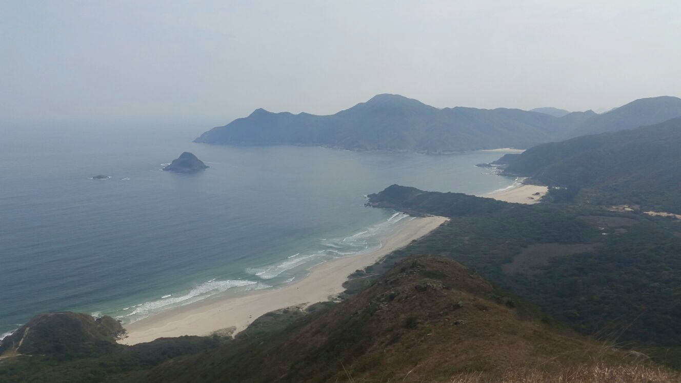
ENDING THE HIKE VIA SAI WAN VILLAGE
You will know that you've reach Sai Wan when you start stepping on sands instead of small stones and rocks. Walking on the sand may tire you up a little bit more. There are 2 campsites that you must pass before reaching the village area.
Once you reached Sai Wan village, you may take a quick rest and perhaps reward yourself with some nice snacks before hiking for another 45 minutes to catch the village minibus to bring you back to Sai Kung Town. Don't forget to ask the shopkeepers about the time slot of the minibus or you may also inquire about boat service if you do not wish to catch the minibus.
When you are back in Sai Kung Town, do not forget to reward yourself with a nice and satisfying meal. You've just conquered one of the toughest hikes in Hong Kong. Hiking Sharp Peak is not a joke and by finishing this hike only makes you stronger.
WHAT TO BRING AND WEAR
- Small towel
- Hiking pants/ jogging pants (no jeans/denim!)
- Short/ Long-Sleeve Shirt
- Hiking shoes
- Trekking pole - can be useful when descending
- Extra shirt - for changing
- Cap - to protect your face from sun exposure
- Umbrella/ waterproof jacket with hoodie - in case of rain
- Windbreaker jacket (optional) - It will be very windy in the middle of the hike from Violet Hill path to Tse Long Bridge
- Toiletries - tissue/ wet tissue, sunscreen, OFF spray (to avoid insects)
- Portable charger
- Water - 2.5L
- Snacks - fruits (apples or bananas), boiled eggs, protein/ energy bars, digestives biscuits or bread
OVERALL EXPERIENCE
My overall experience was good and bad. Good, because I have finally conquered this difficult hike. bad, because I was extremely tired. However, it was satisfying and it was probably the best hike I ever did in Hong Kong. The only thing I did not enjoy was the countless small stones and rocks around the paths. I have no more recollection of how many times I slipped and fell on the ground because of those annoying little things. But I'm glad that I didn't injure myself.
I wouldn't mind doing this hike again after a few years. I will surely recommend Sharp Peak to people and for those who are seeking a tough challenge.
If you have any questions or concerns about Sharp Peak hike, feel free to leave a comment below. I will be more than happy to help.
Yours Truly,
Michelle Chan


