hike

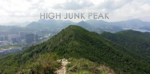
High Junk Peak

COVER.jpg

Summertime has arrived. Hiking is one of the hottest activities to do in Hong Kong. However, the sun shouldn't stop hikers to hike. Hiking in this kind of hot and humid weather could still be enjoyable, however, one must find a good hiking spot to feel that it's worth the sweat. High Junk Peak is probably one of the best hike and suitable hiking spots in Hong Kong during this hot season. Why is that? Continue reading this blog to find out. 


ABOUT HIGH JUNK PEAK

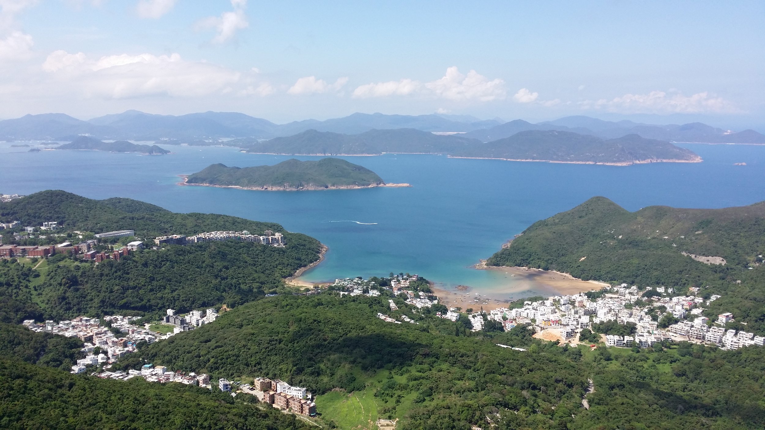
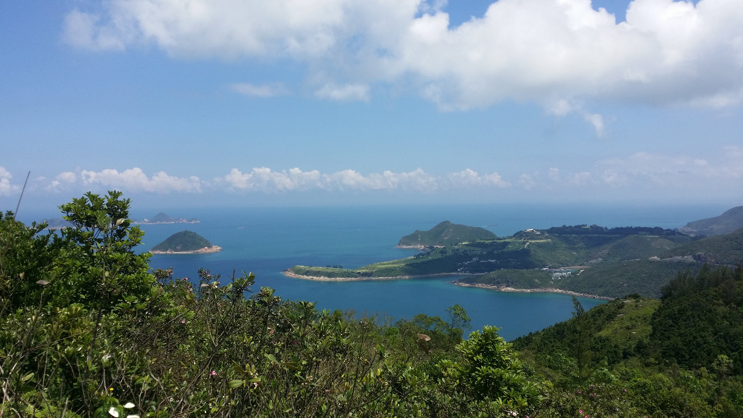
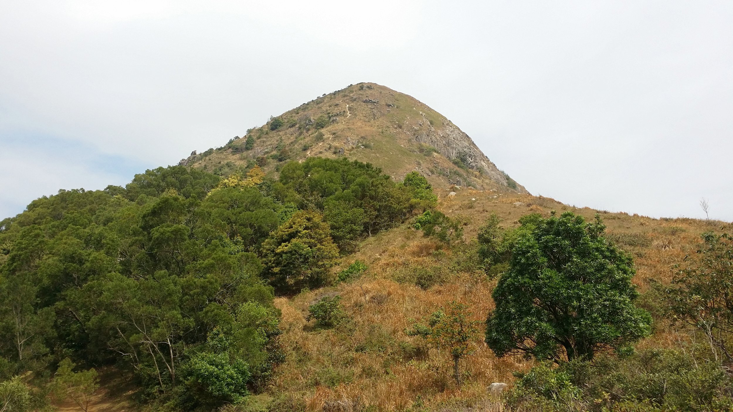
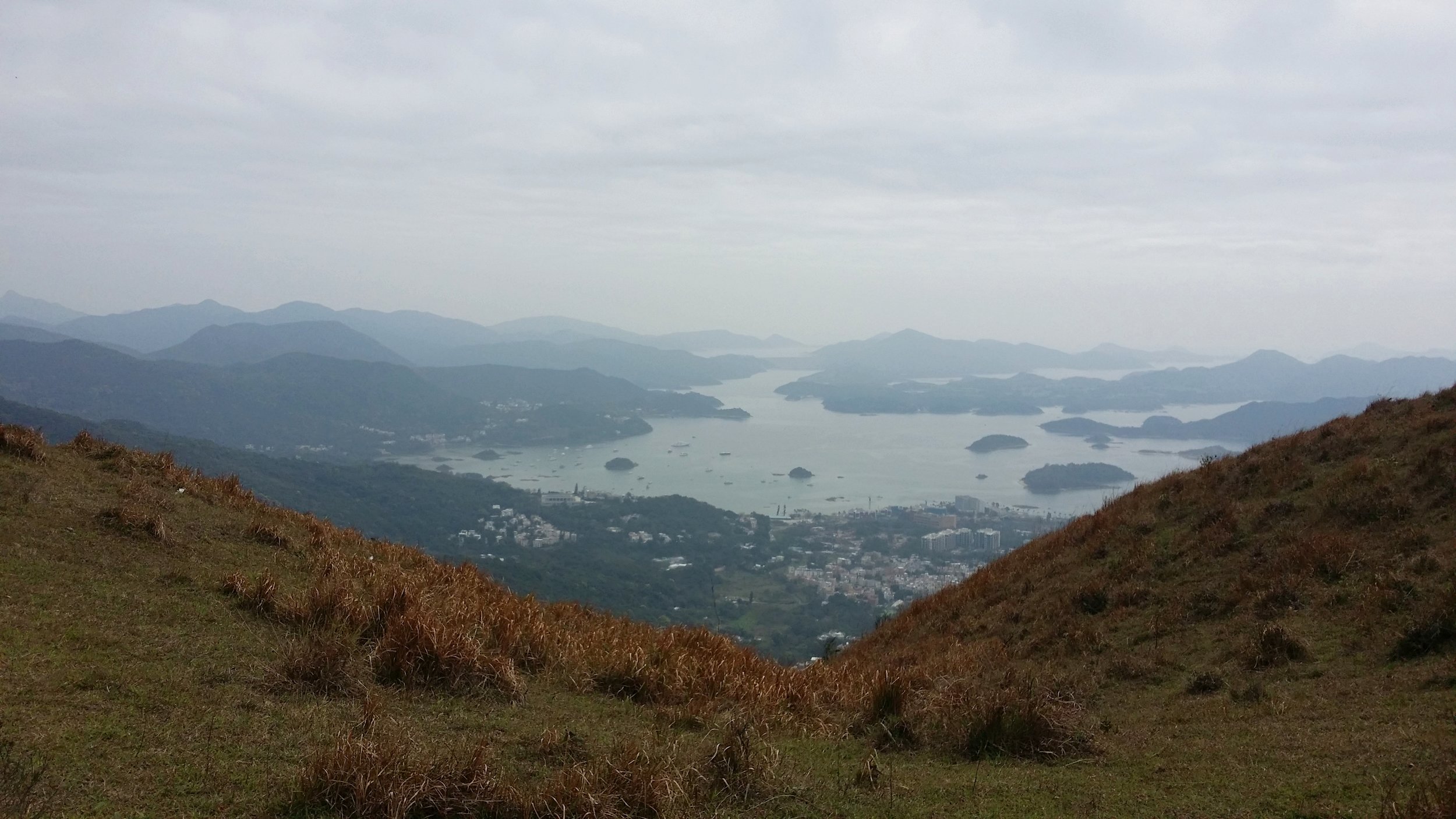
High Junk Peak is located in Clear Water Bay section in the New Territories. High Junk Peak is probably one of the treacherous hikes in Hong Kong. Hiking High Junk Peak is a quick hike with a stunning and scenic view of Clear Water Bay on the left side and Tseung Kwan O on the right side. High Junk Peak measures about 344 meters above sea level. 

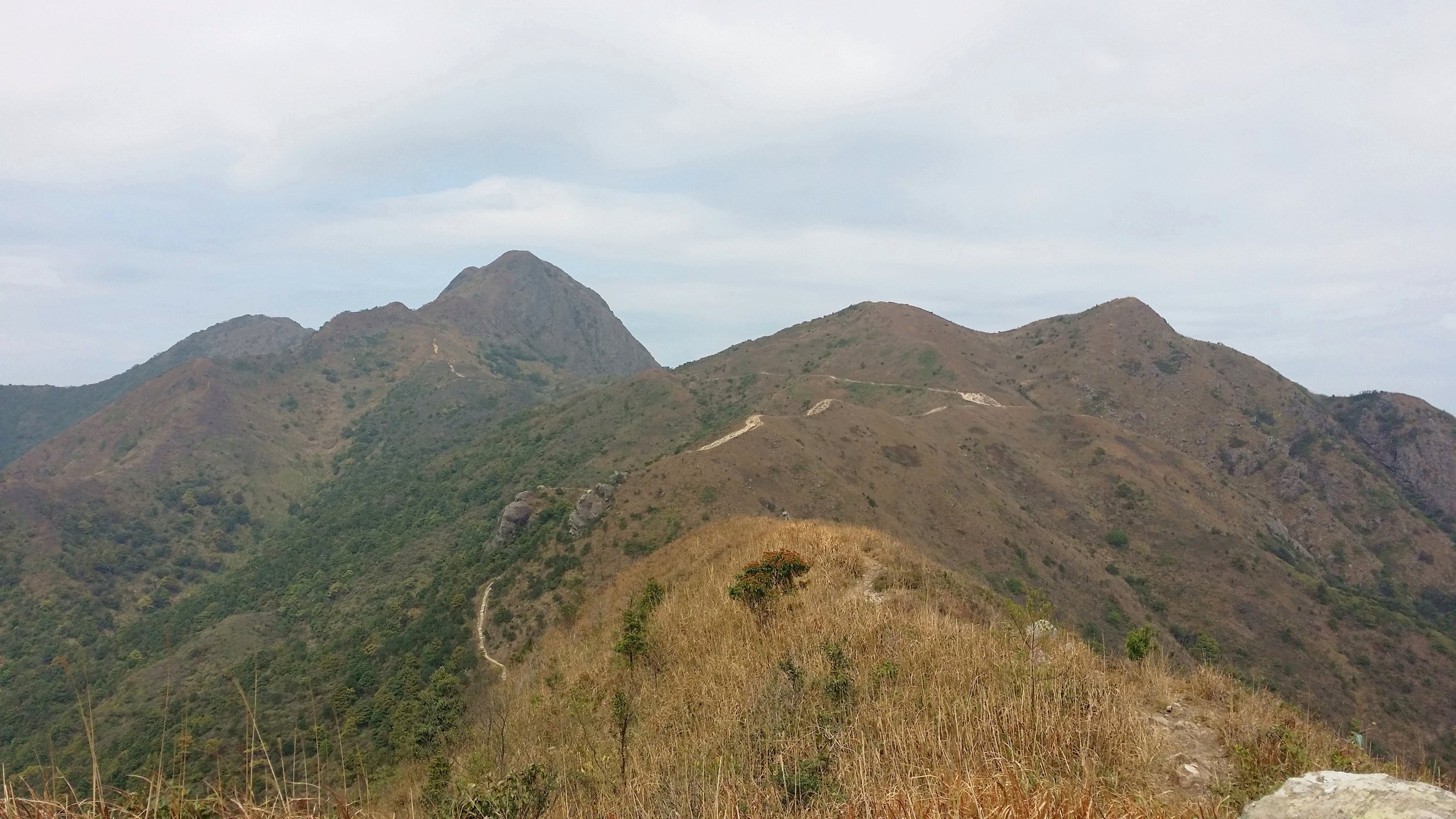
Hiking High Junk Peak can be challenging especially when climbing up to the peak. This hike reminds me of the Sharp Peak hike, however, High Junk Peak is a lot shorter. 

See The Treacherous Sharp Peak Hike to read more about it and if you are also interested.


BASIC INFORMATION OF THE HIKE

DURATION - 3.5 hours

DISTANCE - 6.5KM

DIFFICULTY LEVEL - Fairly Difficult

CELLPHONE/ INTERNET COVERAGE - Everywhere

BEST TIME TO HIKE - Winter or Autumn (Do not go during rainy season)

WATER LEVEL - 1

STARTING POINT - Ng Fai Tin (Hang Hau)

FINISHING POINT - Po Toi O


HOW TO GET THERE AND WHAT TO TAKE

EASIEST WAY AND MOST CONVENIENT WAY TO START THE HIKE

The easiest way to start the hike is to take KMB bus no, 91 from Diamond Hill. If you are taking the train to Diamond Hill, you must get off at exit C1. If you are taking a bus or taxi to Diamond Hill, go to Plaza Hollywood Shopping Mall and find the bus terminal.

From there, you can the bus no. 91 from the bus terminal. Get off at Ng Fai Tin. The total journey time should not take more than 30 minutes except if there is any traffic. 

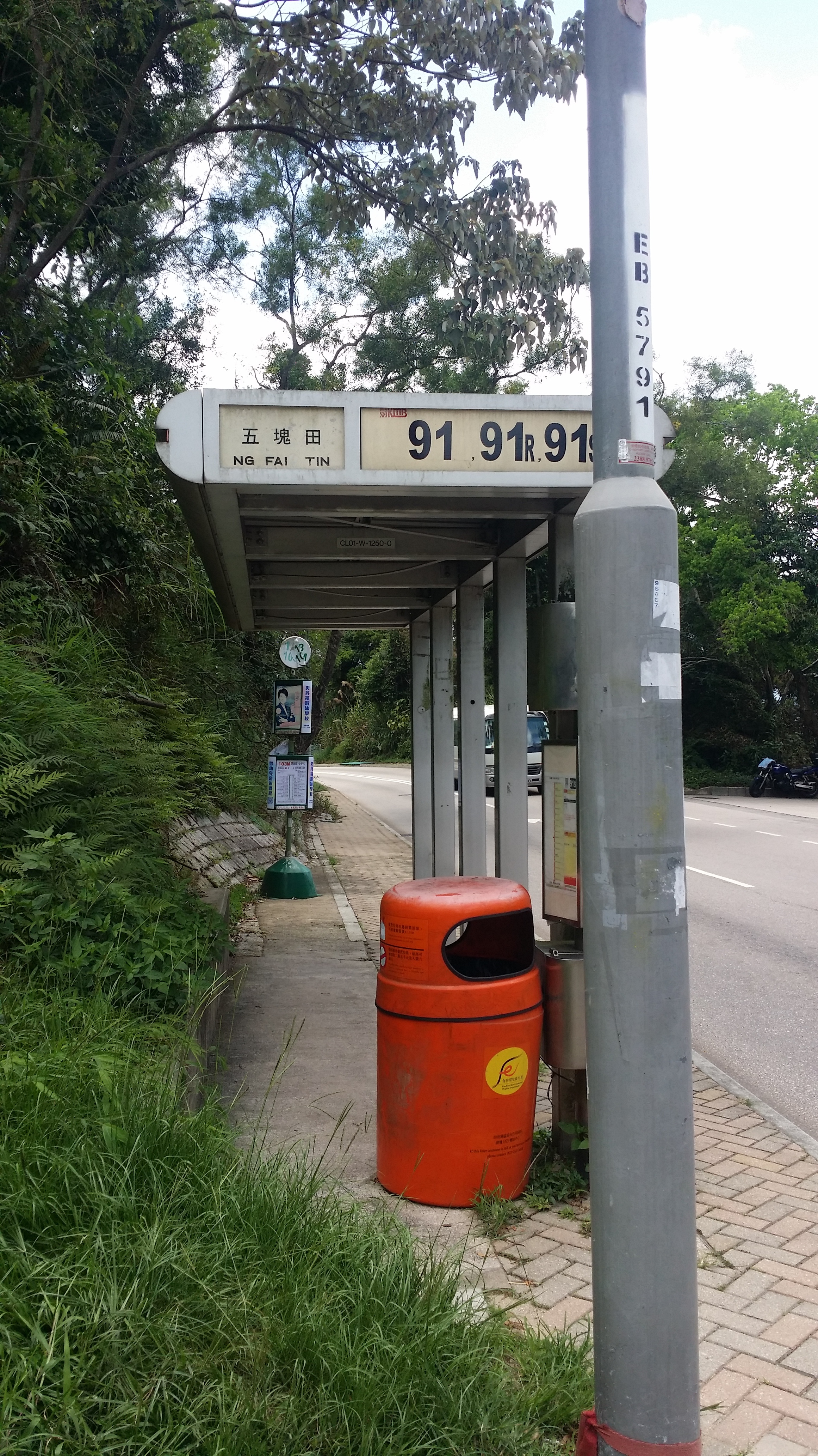
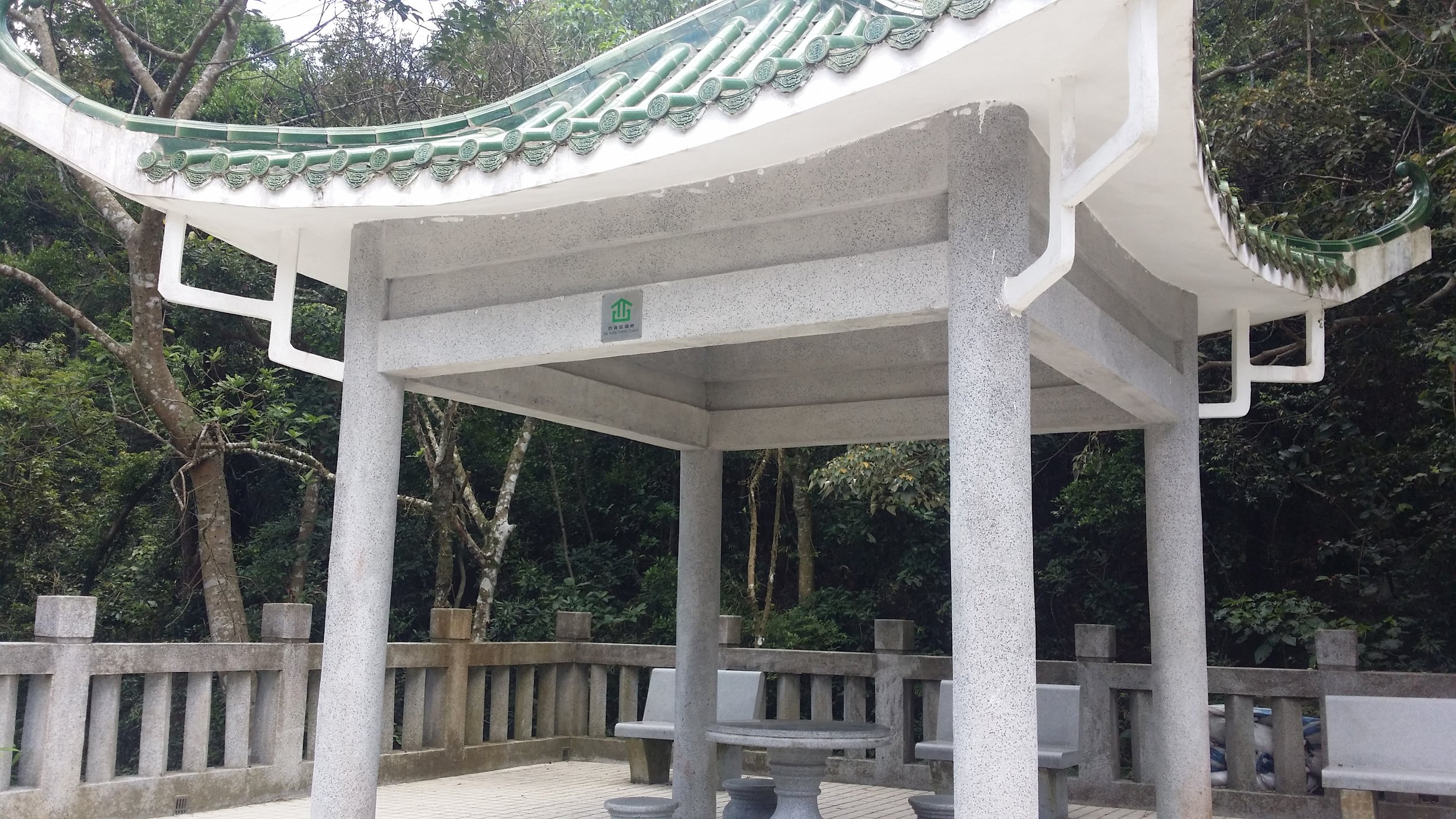
From Ng Fai Tin bus stop, cross the road to the Pavilion and turn right. You will see some stairs and a map and that is where the hike start. 

ENDING THE HIKE IN PO TOI O

The most convenient route to end the hike is at Po Toi O. From there, you can take the minibus no. 16 in the minibus station. It stops at Clear Water Bay, Hang Hau MTR or Po Lam Railway Station. 


HIKE DIARY

DIAMOND HILL TO NG FAI TIN

The easiest way to get to Ng Fai Tin is by taking a bus from Diamond Hill MTR Exit C and go to the bus terminal to take bus no. 91. The bus ride to Ng Fai Tin should take about less than 30 minutes. 

NG FAI TIN - THE PAVILION AND A SHORT FLIGHT OF STEPS

Once you reach Ng Fai Tin, you must cross the road to the other side to a small pavilion. On the right side, there is a map and stairs going up. That is where you start the hike. Up ahead you will be able to see Tseung Kwan O and Sai Kung area on the other side. 
SHEUNG YEUNG SHAN

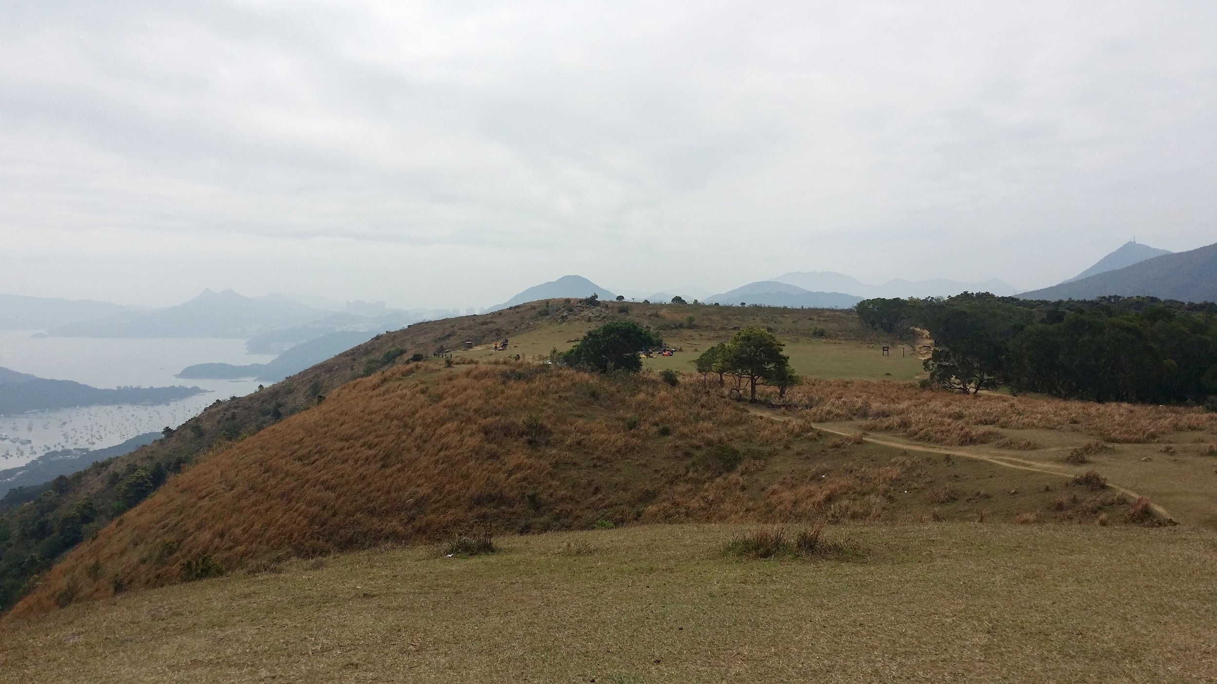
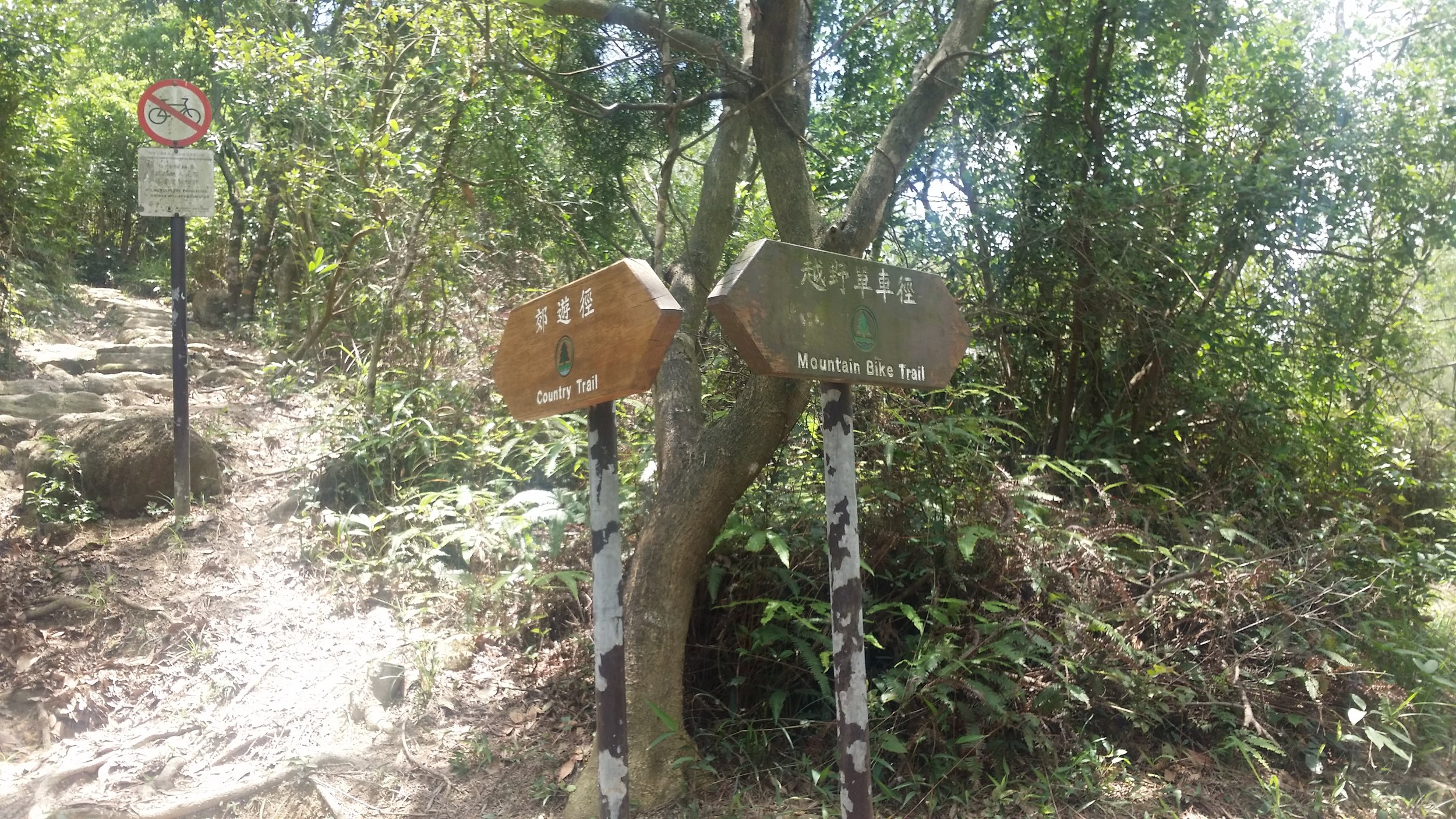
After a short flight of steps, you will encounter a signpost. Follow Sheung Yeung Shan trail or Mountain Bike trail for another half an hour. While trekking, you will pass by a ridge and you will be able to see the High Junk Peak view from there.
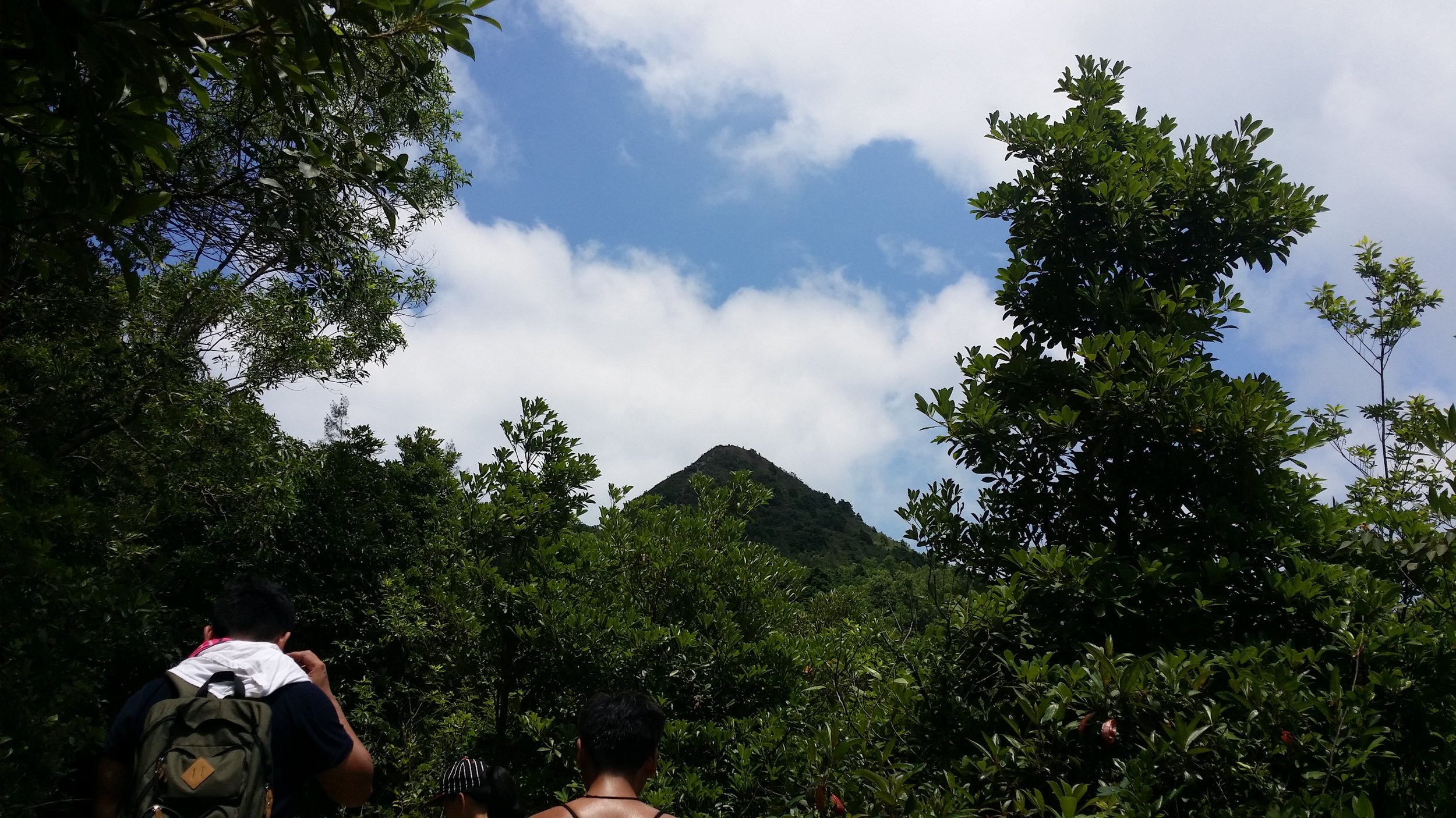
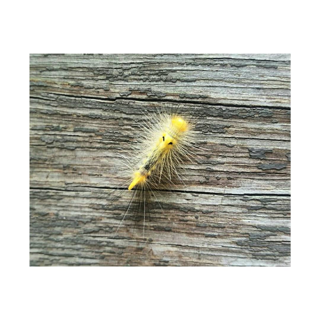
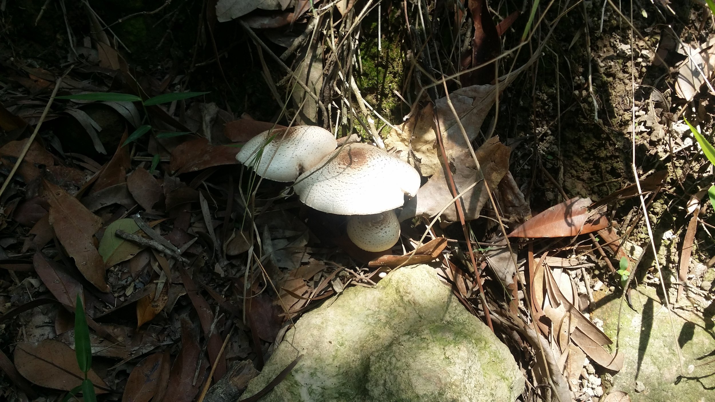
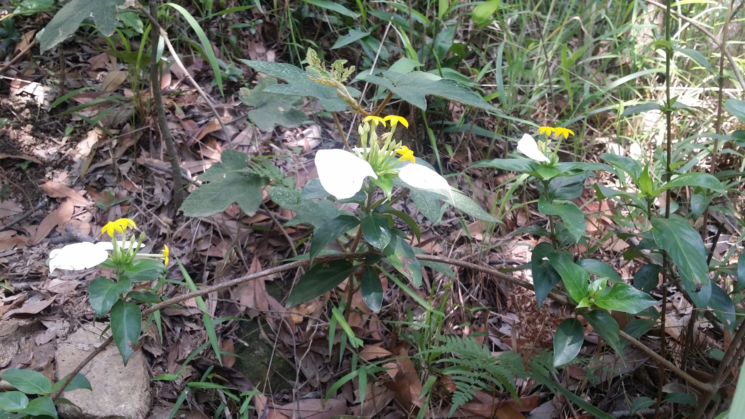
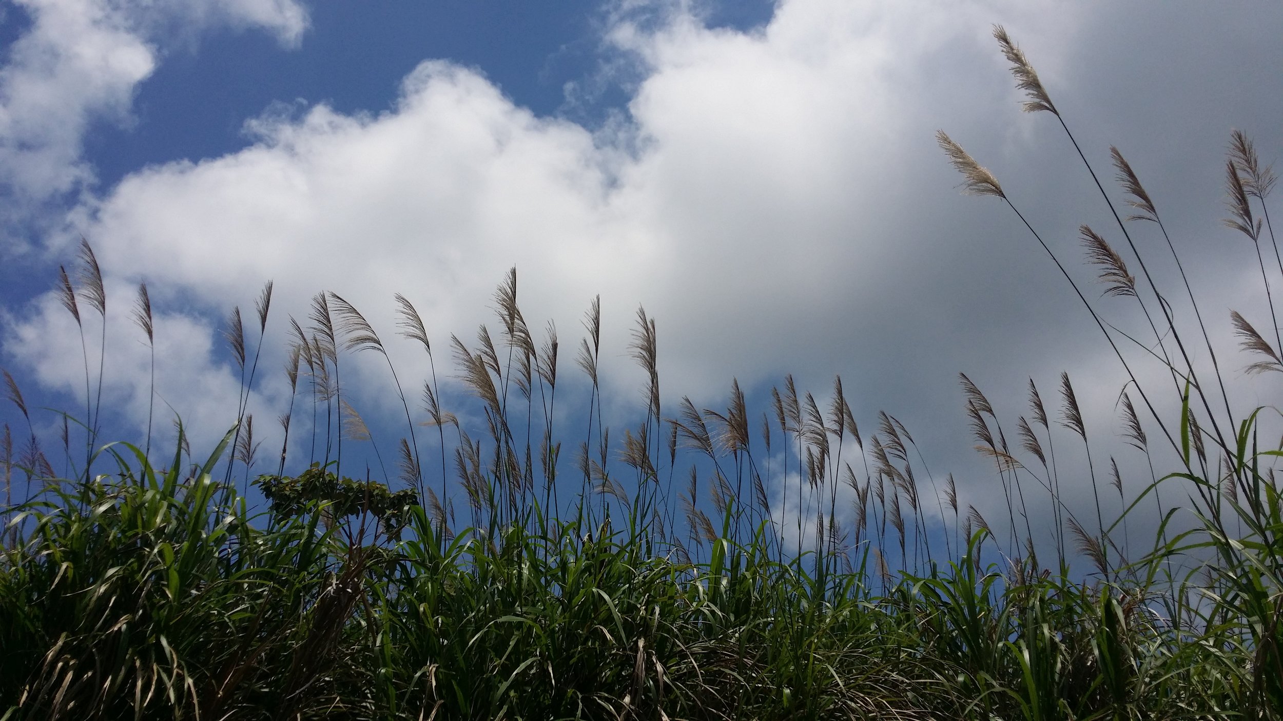
We also encounter some interesting flowers, wheat field, mushrooms and some Gypsy Moth Caterpillars. 
There will be another signpost, turn to left fork to Tai Miu trail.
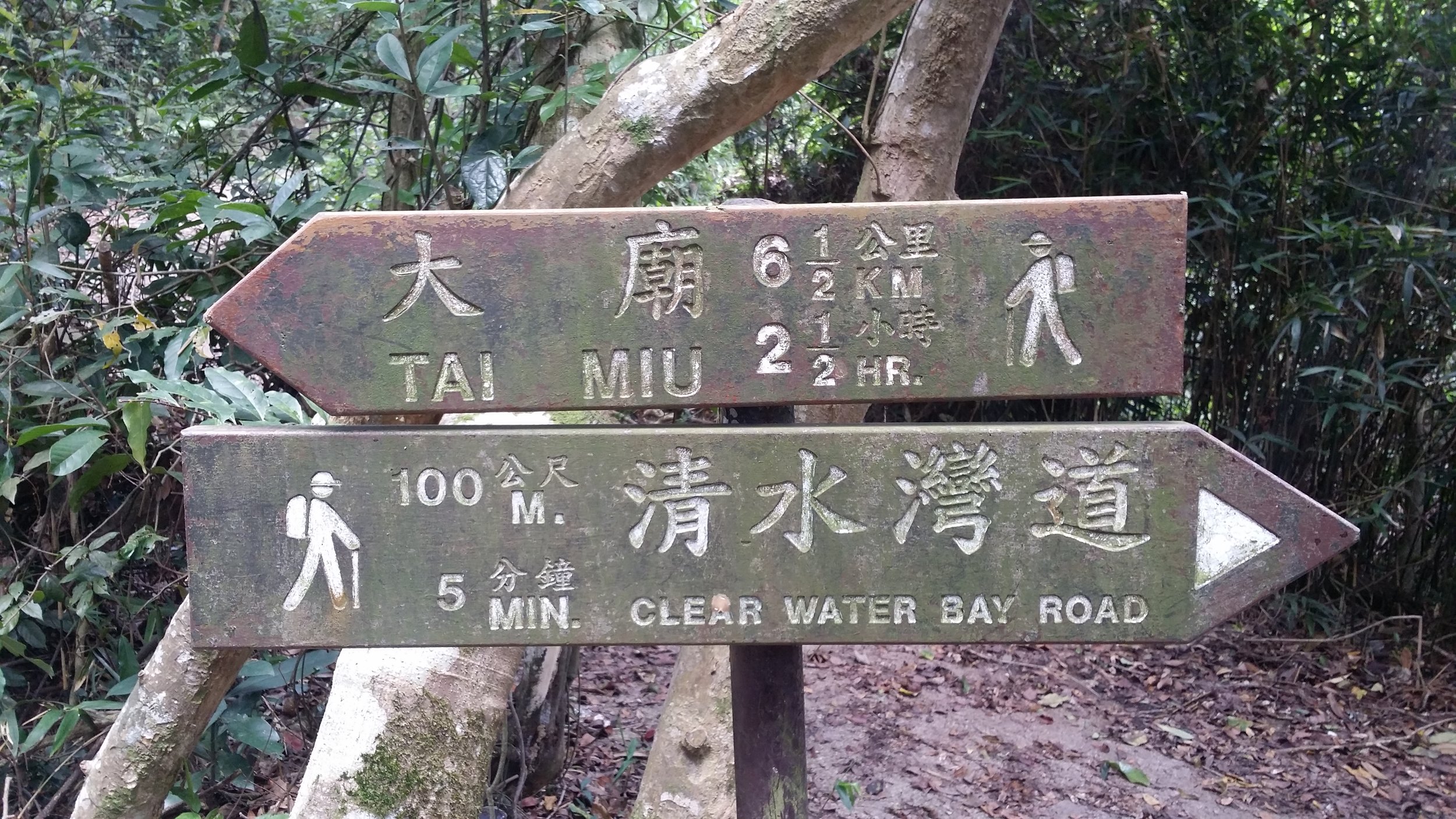
TAI MIU TRAIL

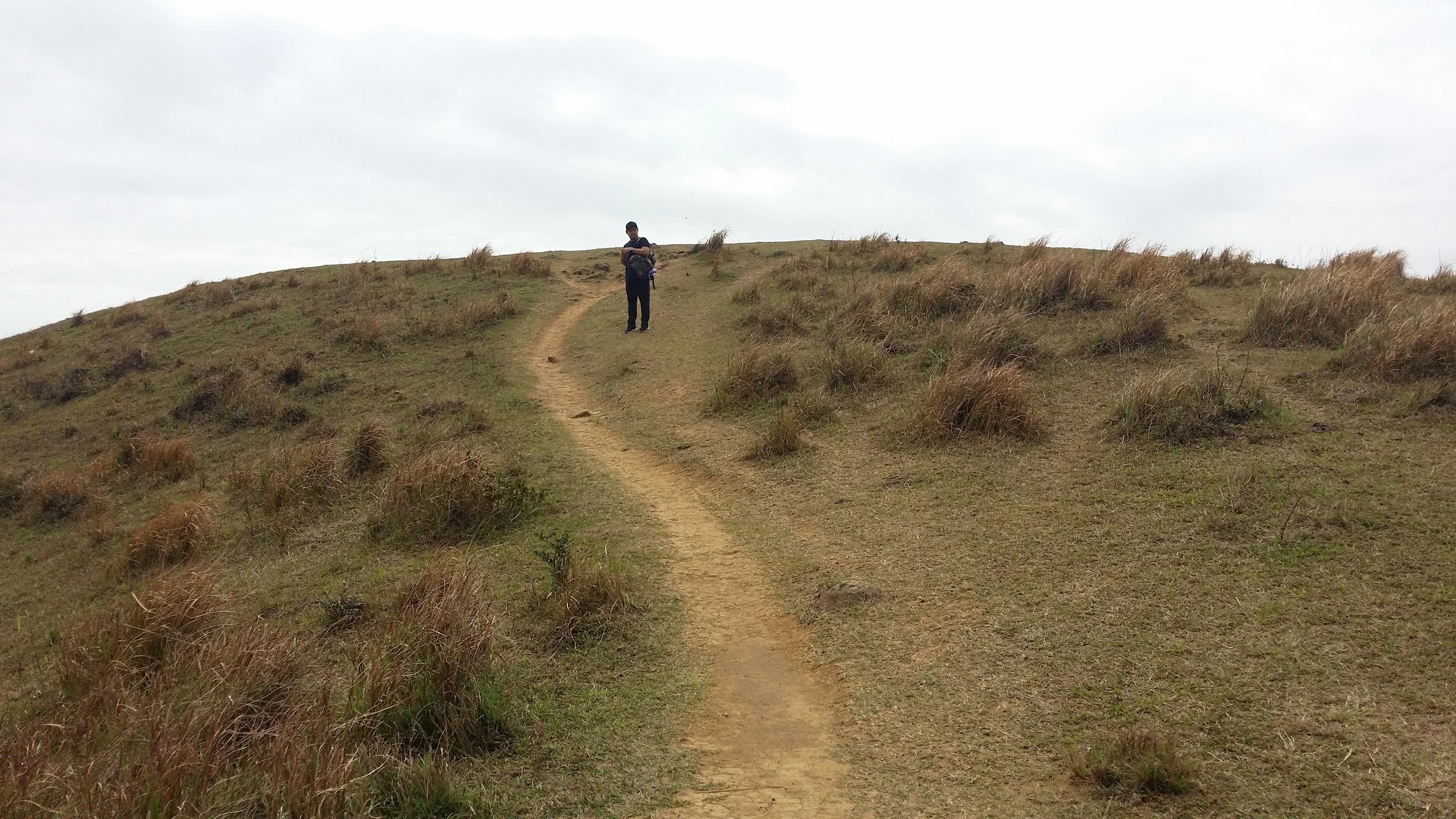
After a few more minutes of trekking, you will come across a resting area, mainly benches. You may allow yourself to take a few minutes rest or have a few snacks. Climbing up the High Junk Peak starts in this area. Follow the ribbons wrapped in tree branches to get started with your hike to the peak.

THE HIGH JUNK PEAK

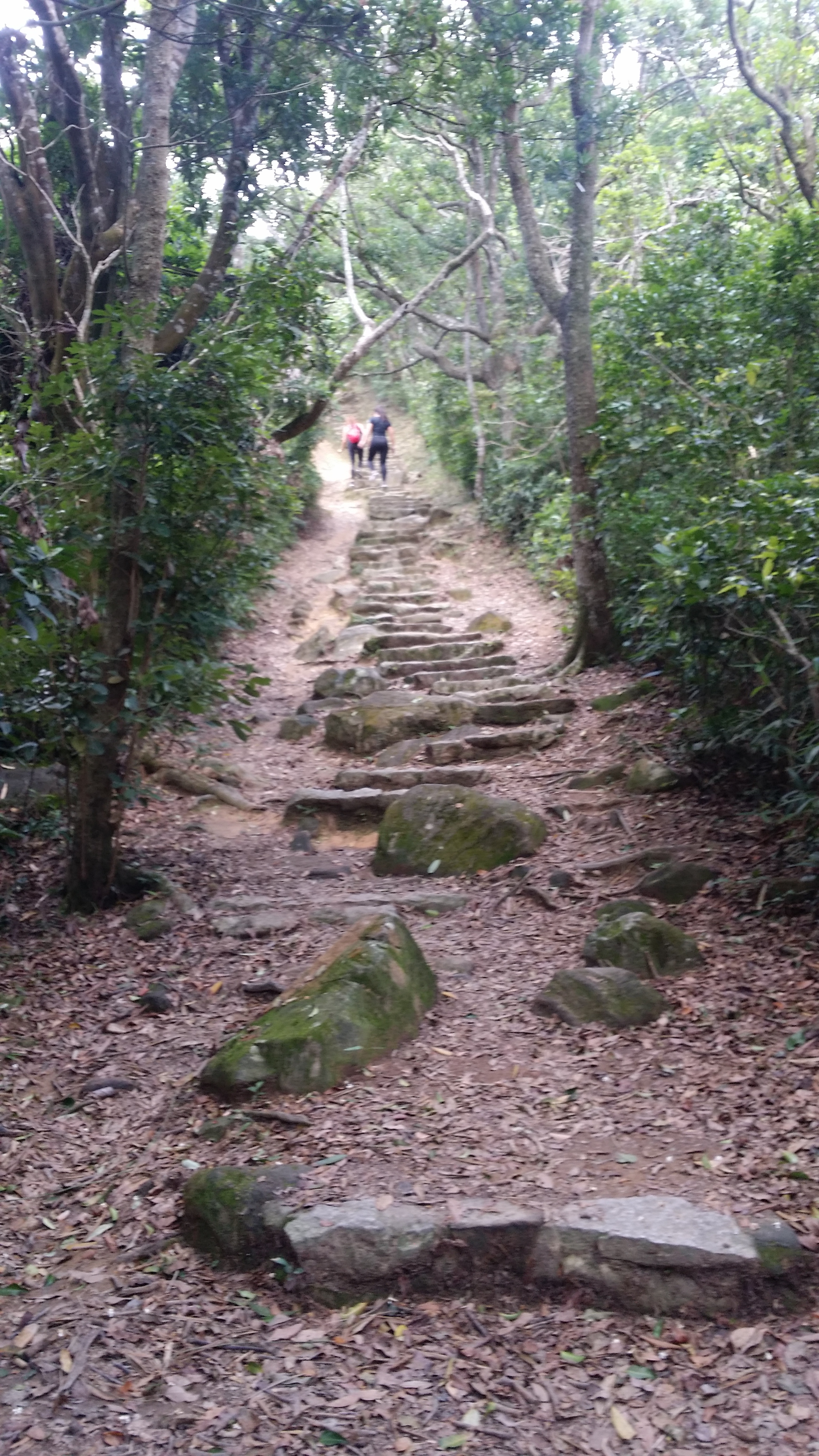
The first few minutes will be downhill and will eventually be descending to the valley. It will later lead you up to a steep gravel near the peak. From there, you may see Clear Water Bay from the south side. 

Climbing up to the peak can be challenging especially for those with less experience, however, there are many big rocks for you to use to pull yourself up to the peak. Just be careful on the rocks and make sure that it is stable to step on. Climbing up to the peak takes about 30-40 minutes. Wear hand gloves if necessary. 
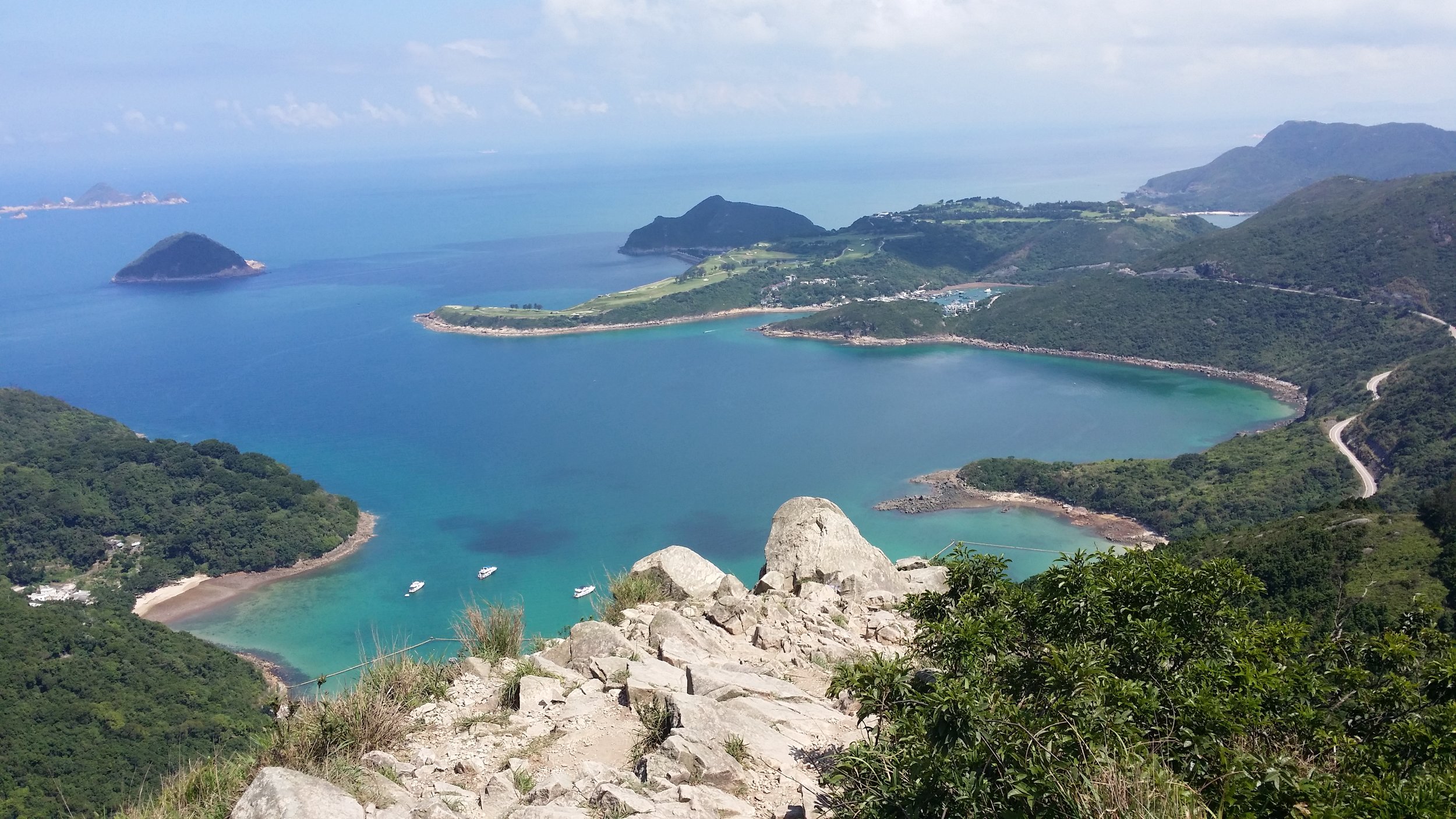
PANORAMIC VIEWS OF CLEAR WATER BAY AND TSEUNG KWAN O

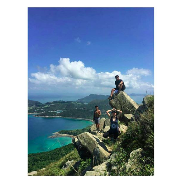
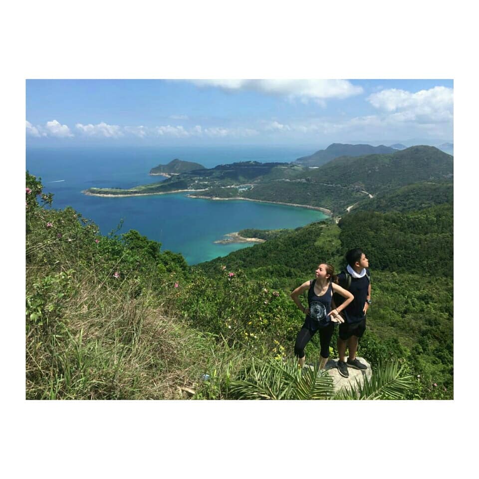
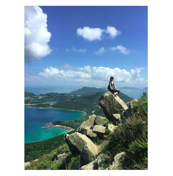
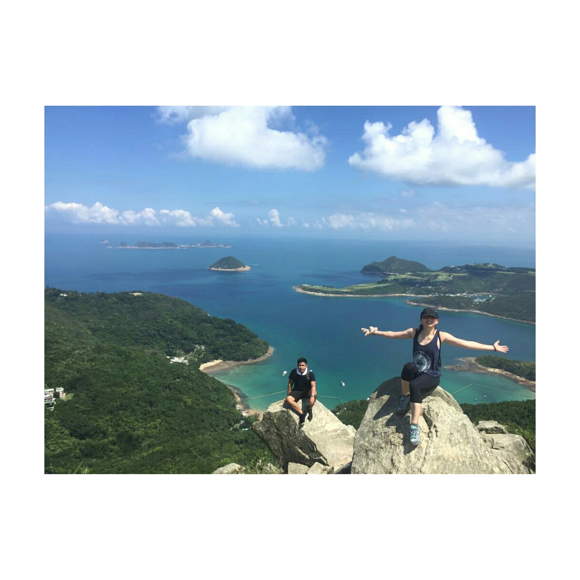
The view on top is very stunning and rewarding. The clear water from Clear Water Bay is just amazing. I have enjoyed my time on top and took a lot of pictures as well. There are plenty of giant rocks for you to sit, stand or even do a yoga pose for a fantastic picture.
TIN HA SHAN

While descending down, you will be able to enjoy the views of Po Toi O Fishing Ground, Clear Water Bay Golf Course, and Tai Mui Temple. You will also need to cross the entrance of Clear Water Bay Golf Club and follow Tai Au Mun Road to the left. Lastly, you must turn right to Po Toi O Chuen Road to end the hike. 

ENDING THE HIKE IN PO TOI O

Your hike is near to the end when you spot a minibus station in Po Toi O. From there, you may take the minibus no. 16 via Po Lam Railway Station. There is an option to drop off at Clear Water Bay or Hang Hau MTR (Nan Fong Plaza).


WHAT TO BRING AND WEAR

  • Small towel
  • Hiking pants/ jogging pants (no jeans/denim!)
  • Short/ Long-Sleeve Shirt
  • Hiking shoes
  • Trekking pole - can be useful when descending 
  • Extra shirt - for changing
  • Cap - to protect your face from sun exposure
  • Umbrella/ waterproof jacket with hoodie - in case of rain 
  • Windbreaker jacket (optional) - It will be very windy in the middle of the hike from Violet Hill path to Tse Long Bridge
  • Toiletries - tissue/ wet tissue, sunscreen, OFF spray (to avoid insects)
  • Portable charger
  • Water - 1L
  • Snacks - fruits (apples or bananas), boiled eggs, protein/ energy bars, digestives biscuits or bread


OVERALL EXPERIENCE

This hike for me was one of the best I ever hike in Hong Kong during summer. Hiking High Junk Peak was not very difficult, though a little bit challenging. Clambering up was the challenging part of the entire hike, which is exactly what I am looking for in a hike. The view on top was spectacular. I enjoyed it a lot and somehow I felt that I was on an island in Thailand or the Philippines. I would definitely recommend this hike. 

If you have any concerns or questions, feel free to leave a comment below. I will be more than happy to help. 


Yours Truly,

Michelle Chan

The Hong Kong "Pyramid Hill" Hike

COVER.jpg

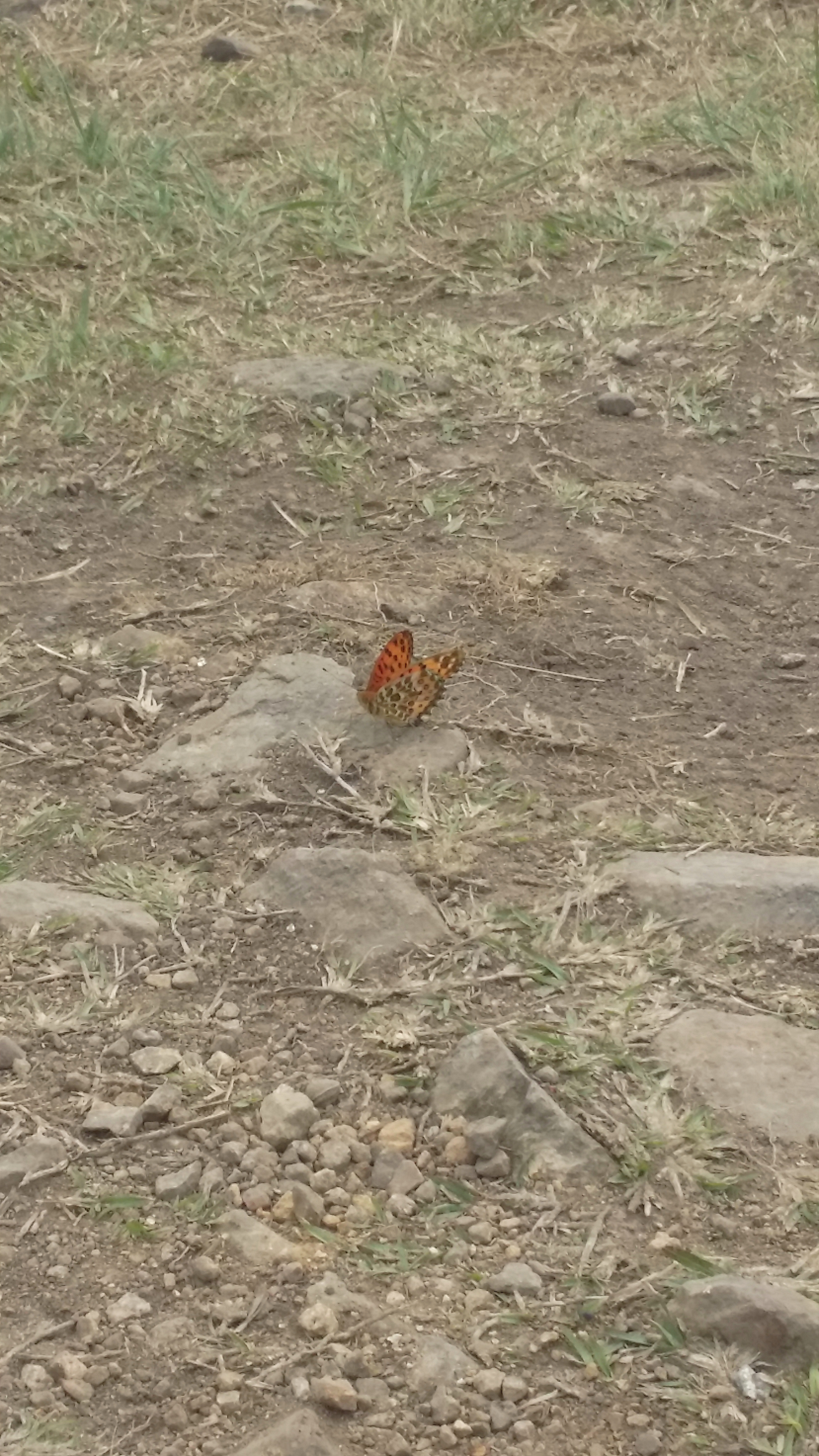
It is springtime in Hong Kong. Therefore, paying a visit to the hills or mountains in Hong Kong is probably the best time whilst all the flowers are starting to bloom and beautiful butterflies flying around while you trek. Sound relaxing isn't it? The weather is also cool and warm. 


THE PYRAMID HILL

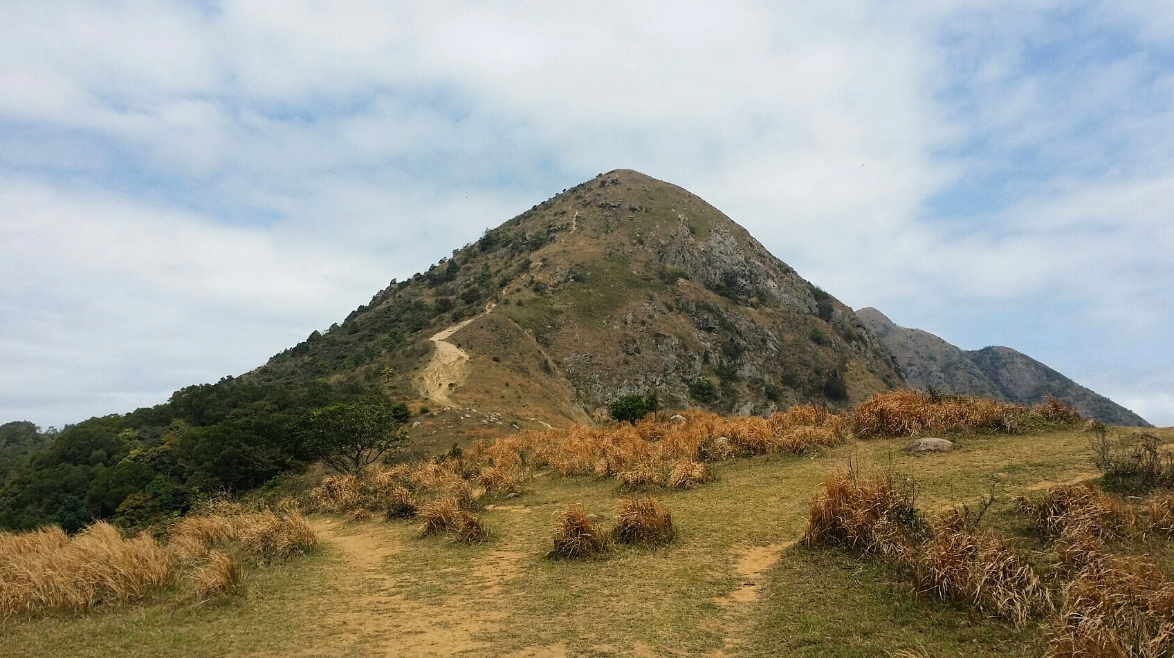
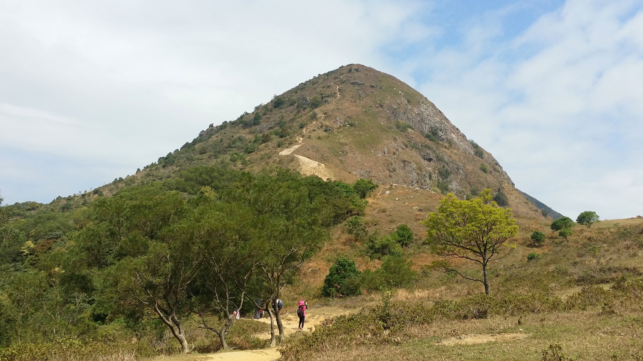
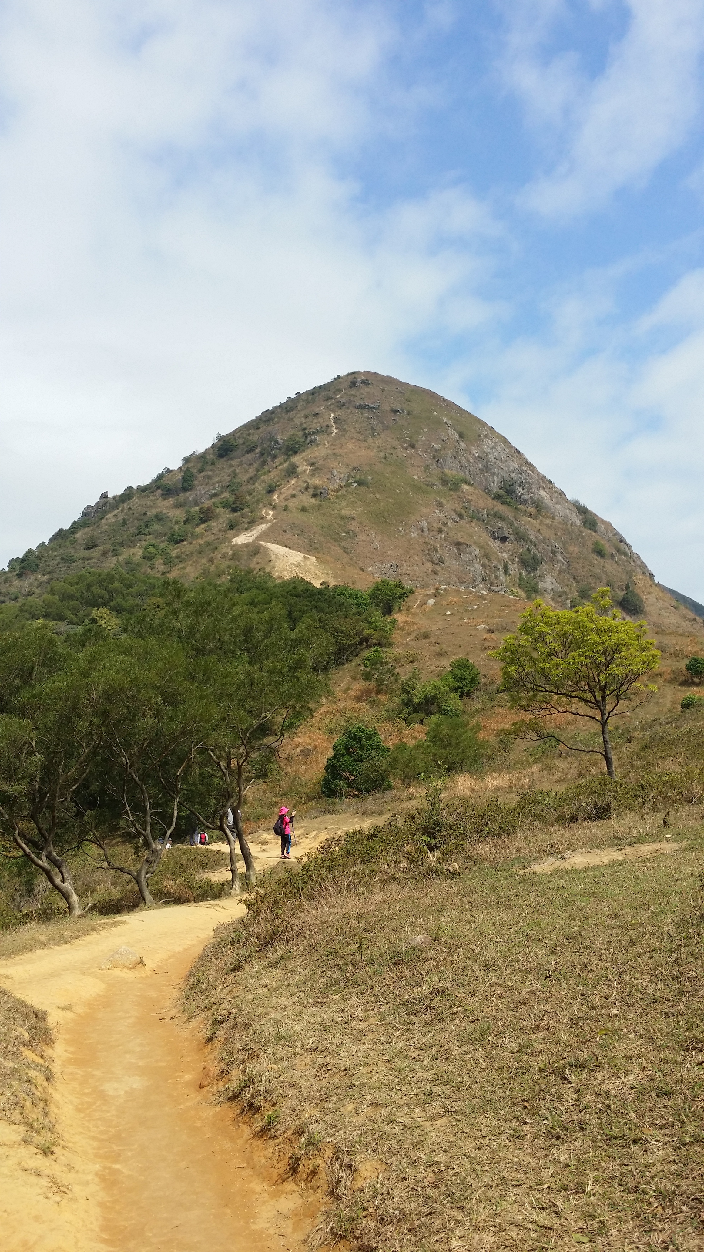
The Pyramid Hill is located in the Ma On Shan trail. Pyramid Hill is probably one of the famous hiking spots in Hong Kong. It measures about 536 meters above sea level. Does it really look like a pyramid though? You'll find out whilst you continue reading this blog. 


BASIC INFORMATION OF THE HIKE

DURATION - 3.5 hours

DISTANCE - Around 5-6km

DIFFICULTY LEVEL - Medium (Hard - when climbing up the Pyramid Hill)

CELLPHONE/ INTERNET COVERAGE - Everywhere

BEST TIME TO HIKE - Autumn or Winter season

WATER LEVEL - 1.5L

STARTING POINT - Ma On Shan BBQ site

FINISHING POINT - Tai Shui Tseng


HOW TO GET THERE AND WHAT TO TAKE

CONVENIENT AND EASIEST WAY TO START THE HIKE

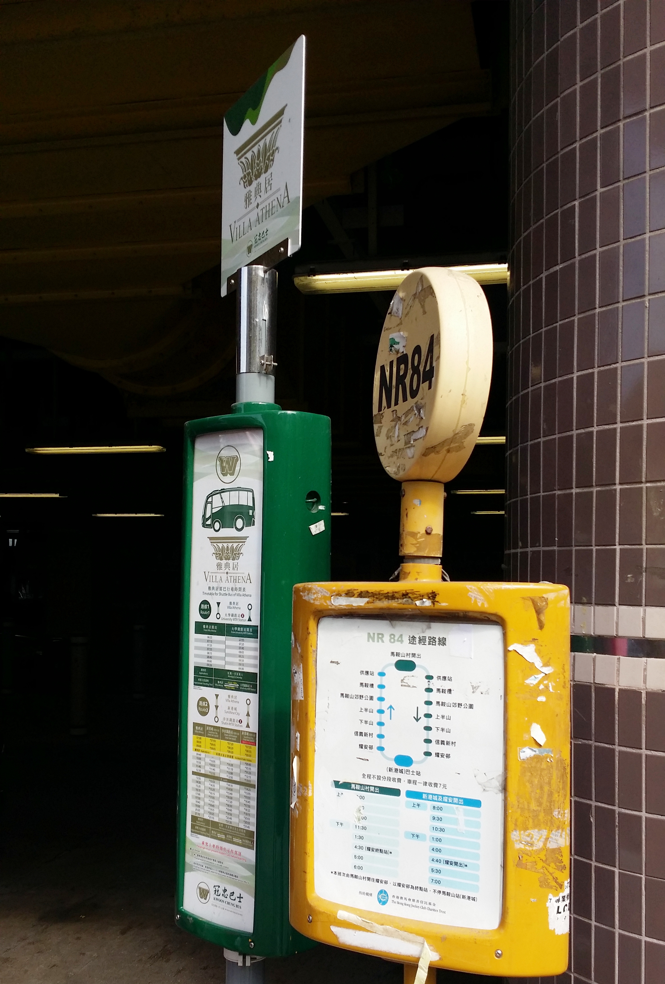
The most convenient way to get to Ma On Shan is by taking the MTR then a village minibus. Get off at Ma On Shan Exit B and go down to the ground floor of Sunshine City Plaza at the bus terminal. Look for the green taxi stand and the village minibus is right there. Take the village minibus no. NR84. Take note that this minibus isn't the normal green minibus. It looks more like a mini shuttle bus and it is white in color.

There are only 3 timeslots in the morning - 8 am, 9:30 am and 10:30 am. The next one and the only time and the last one you can take will be at 1:00 pm. This minibus leaves on time, so make sure to be there in advance. 

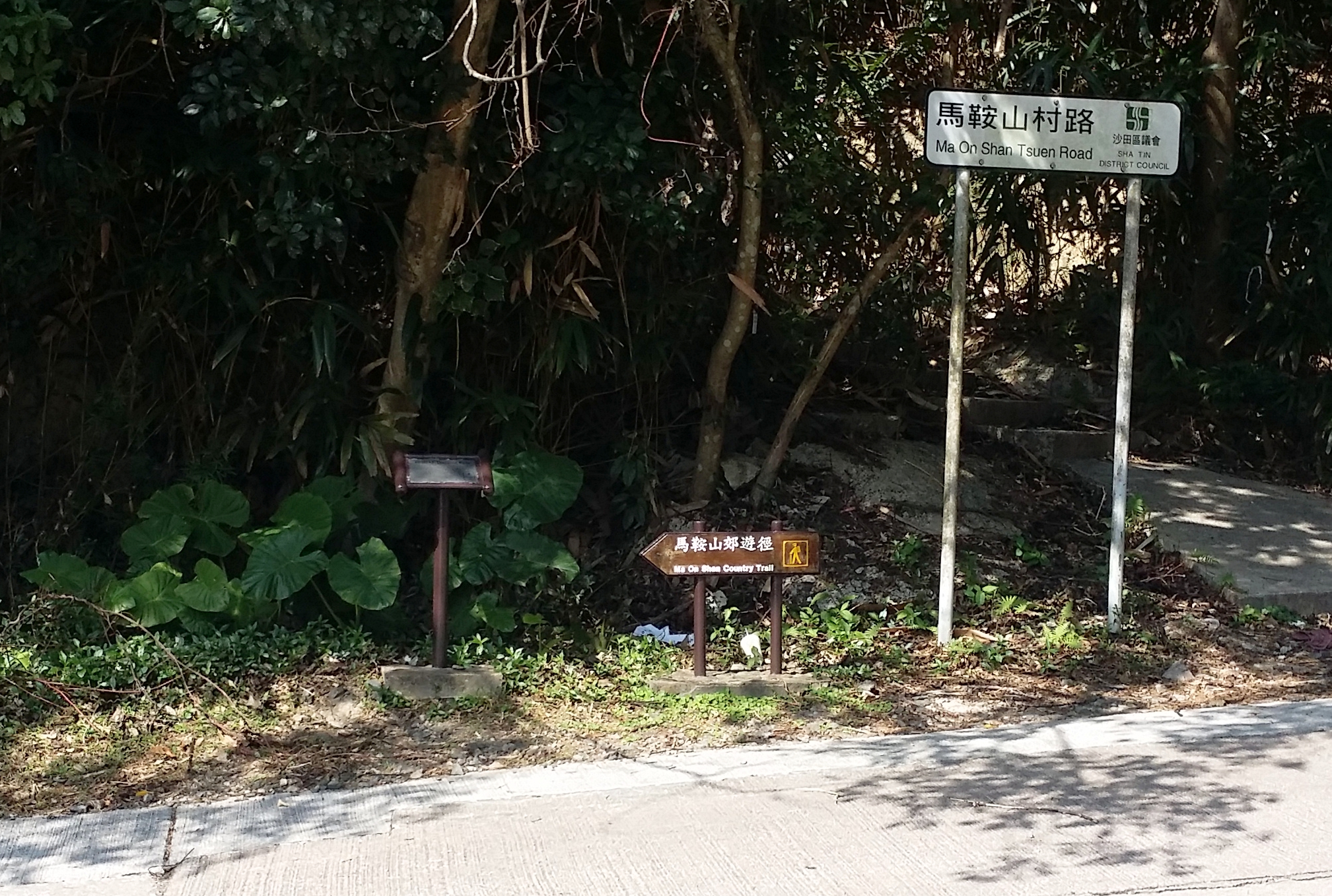
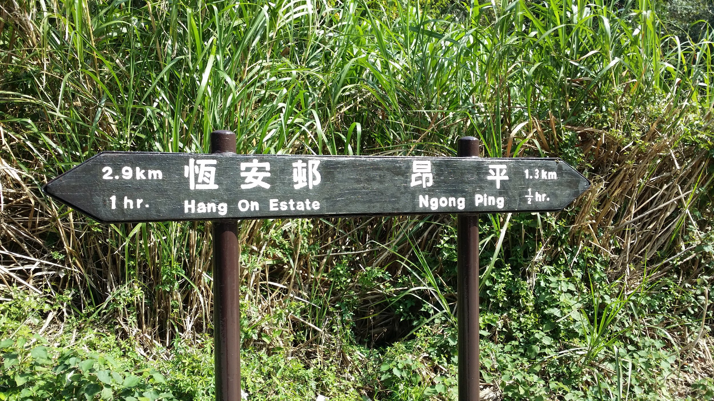
The minibus ride should take about 15-20 minutes. Get off at Ma On Shan BBQ site and look for a signpost to Ma On Shan Country Trail. Walk straight until you see a carpark. There will be another signpost via Ngong Ping. Once you've found that, that is where you start the hike. 

TWO WAYS TO END THE HIKE

The first option - Passing by Chuk Yeung Road trail. This trail will bring to Sai Sha Road where you can take bus no. 99 or no. 299 to Sha Tin, Wu Kai Sha MTR or to Sai Kung. 

The second option - Descend down via Tai Shui Tseng trail. This is easier and quicker to finish the hike. This trail will end near Sai Kung. From there you will find some minibus or simply take a taxi ride back to Sai Kung. The cost should only take around HK$50-70.


HIKE DIARY

MA ON SHAN MTR TO VILLAGE BUS STOP

As mention above "How to get there and what to take", you should take the village minibus no. NR84 and drop off at Ma On Shan BBQ site. 

MA ON SHAN BBQ SITE

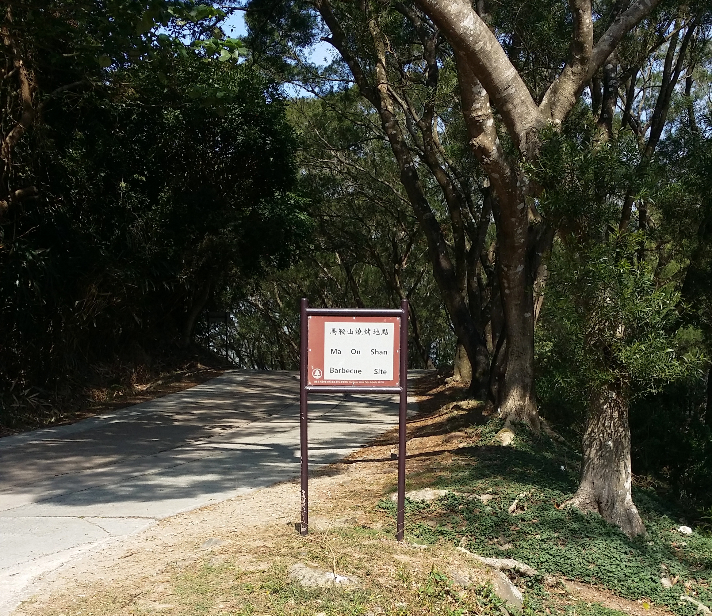
From the BBQ site, walk straight and look for the signpost to Ma On Shan Country trail. When you pass by a mini car park area and look for the signpost to Ngong Ping trail, that is where the hike starts. It usually takes about 15 minutes to reach the starting point from the BBQ site. 

NGONG PING TRAIL

The hike is slightly tiring as you will start with a flight of stairs and then some uphills. This area reminds me of a jungle. It is so green. Hiking up to the paviion should only take about 30 minutes. 

THE PAVILLION

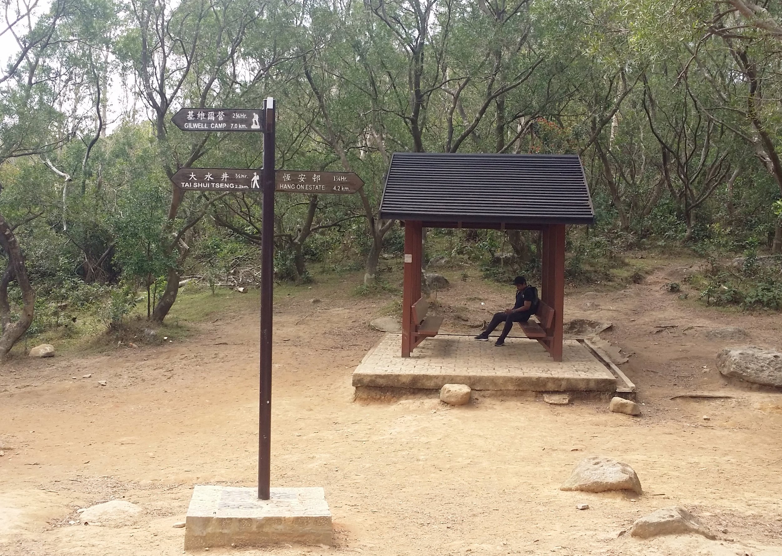
When you reach the pavilion, that is when you finish trekking the Ngong PIng trail. You can stay at the pavilion and rest for a bit and have a quick snack before proceeding your hike to the Pyramid Hill. From there it will take about 10 minutes to reach the famous hill. 

THE PYRAMID HILL

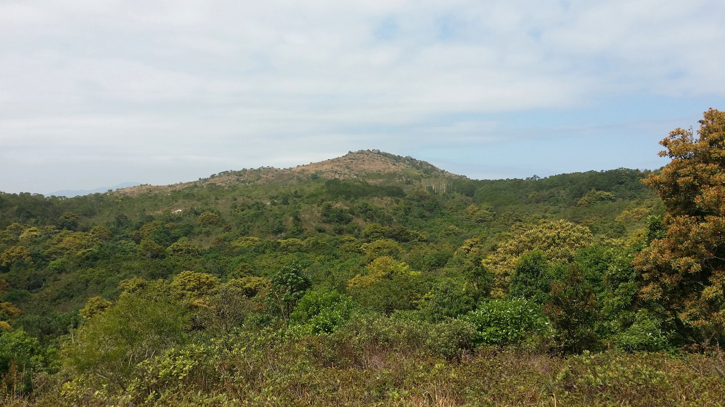
It is easy to find the Pyramid Hill as it is the only one there. You can't possibly miss that unless you took the wrong path. Anyways, seeing the Pyramid Hill was stunning and somehow it does sort of look like a pyramid, just like the ones in Egypt, except Pyramid Hill is not man-made. 

Tips: You may choose to climb up the Pyramid Hill if you want more adventure or you may continue your hike down via Tai Shui Tseng trail or Mao Ping trail. 

THE GRASSLAND

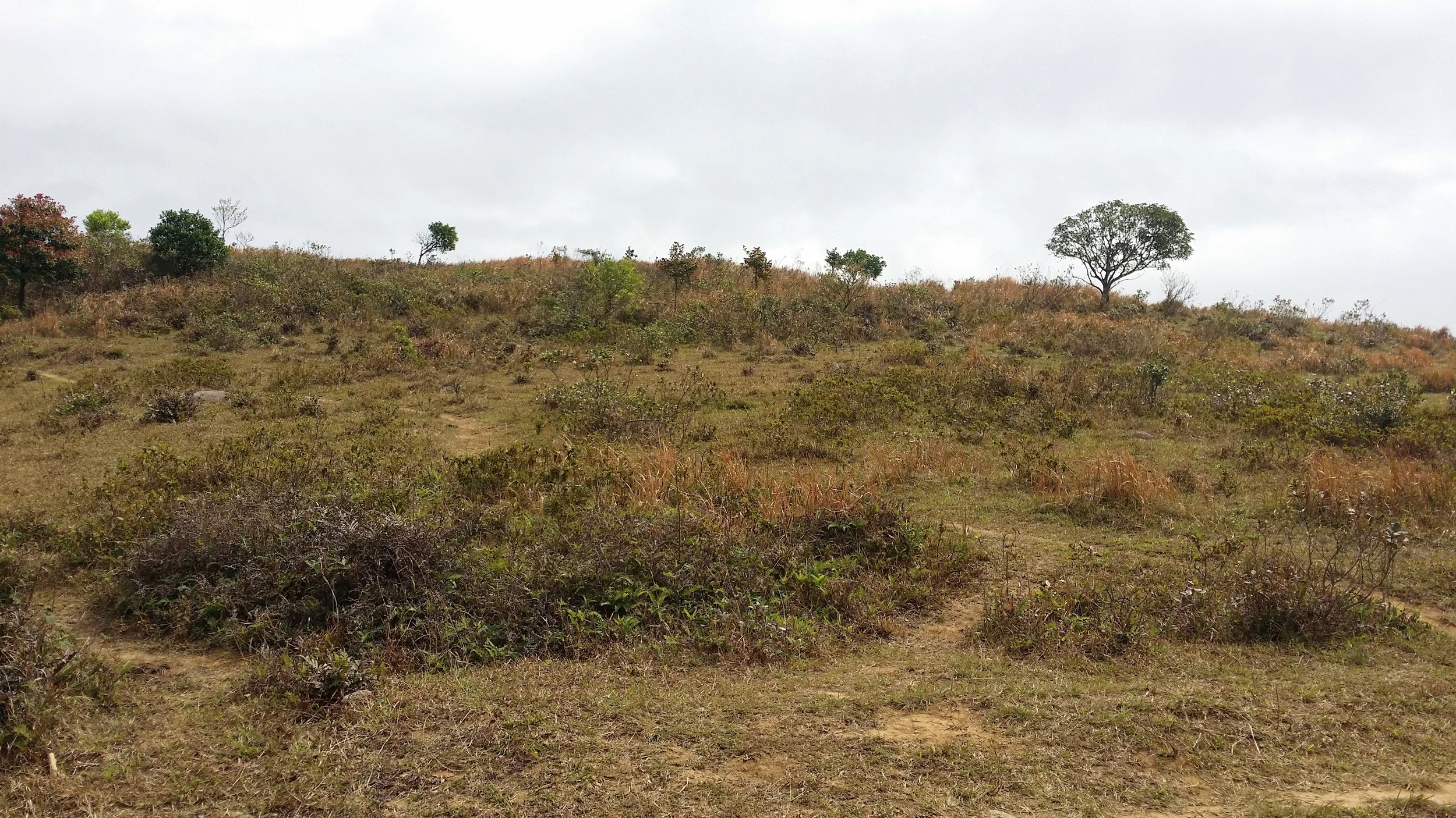
Reaching the grassland area is very peaceful and something I have never seen before in a hike in Hong Kong. There is an area where campers can stay overnight to have some overnight camping excursion. 

CLIMBING UP THE PYRAMID HILL

Climbing up the hill is very challenging. You need to clamber up and literally push and pull yourself up. I must say, this is not very easy but also not very hard. It's manageable, you just have to be careful where to step and use those rocks wisely to help you climb up the hill. It will take around 15 to 30 minutes being the longest to climb the Pyramid Hill. You may take a long break when you reach on top and enjoy the scenery. 

Friendly advice: Bring a pair of sports gloves if you are climbing up the Pyramid Hill for safety purposes. 

DESCENDING DOWN THE HILL

Once you're done admiring how beautiful the scenery is, there are 2 options for you to choose where to proceed. 

Option 1 - Walk down straight via Maclehose trail to take you to Chuk Yeung Road. Taking this trail will reward you with more views. By following this trail, it should take you about 1-2 hours more to finish the hike. 

Option 2 - Walk down straight and turn to the left side and continue to walk straight back to the pavilion. From there, you can walk to the same way to the Pyramid Hill. Once, you've reached the Pyramid Hill, continue to walk straight until you see a map and some signs. Take the Tai Shui Tseng trail to head down. This is an easier and quicker way to end your hike, so taking this trail would be good. 

ENDING THE HIKE IN SAI KUNG

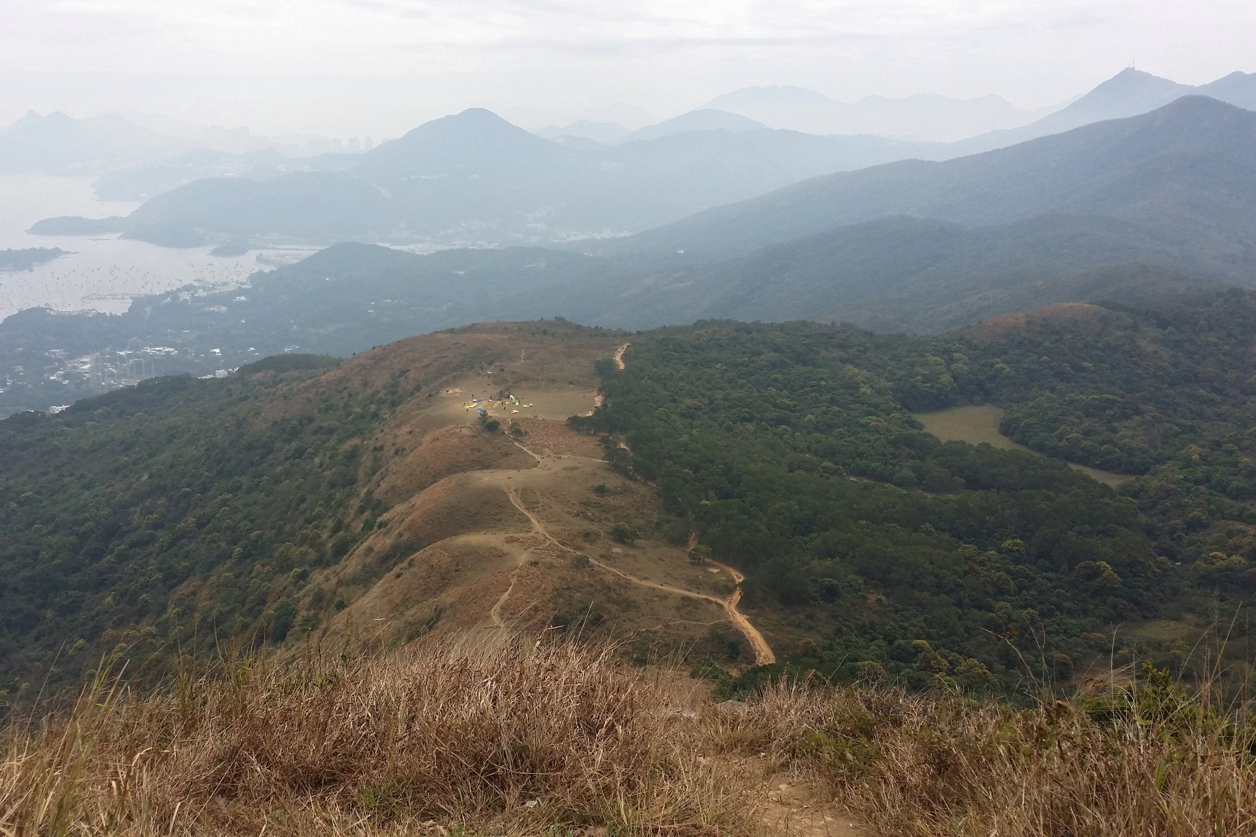
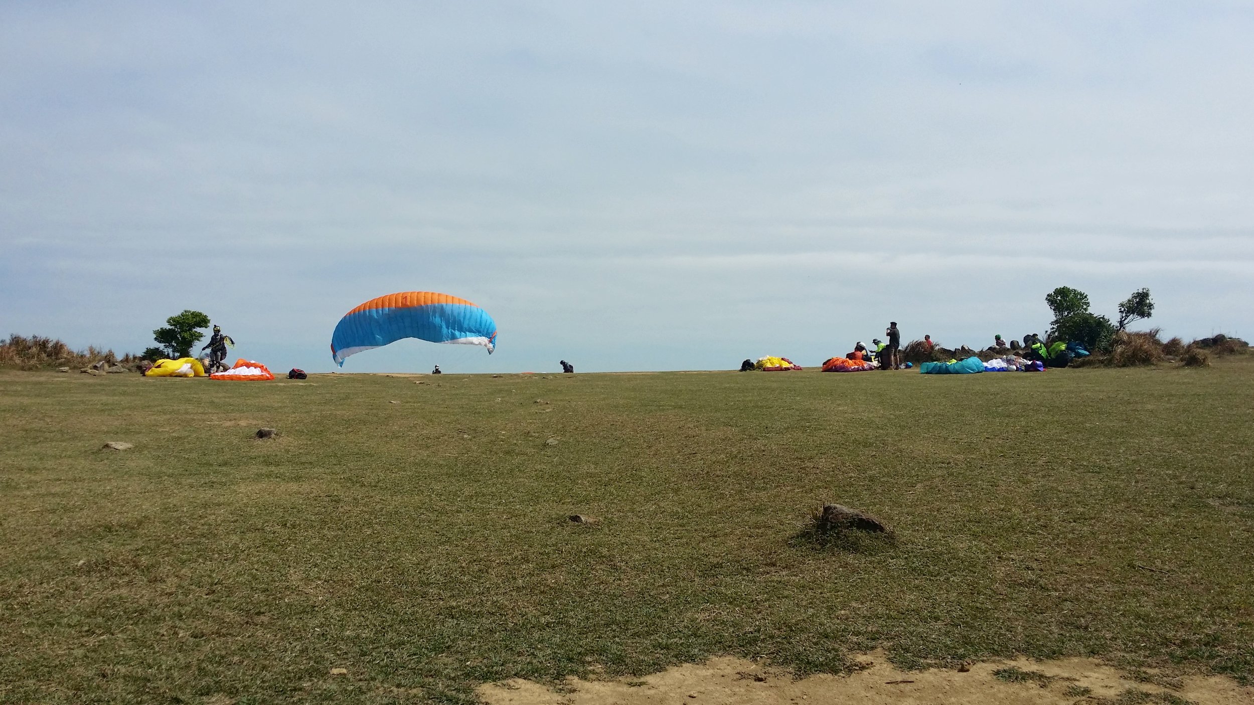
Before you head down, you will see some people flying their drones or electronic airplanes around the area. If you are lucky, you will also get to see some adrenaline junkies doing paragliding. The hike down via Tai Shui Tseng will take about 1 hour to 1 hour and a half to finish. It is slightly steep but there are plenty of big rocks to help you out whilst you go down.

Once you start stepping on concrete stairs then that is when you will know that the hike is almost over. From there, you may take a minibus or a taxi back to Sai Kung or anywhere you wish to go. 


THINGS TO BRING AND WHAT TO WEAR

  • Small towel
  • Hiking pants/ jogging pants (no jeans/denim!)
  • Short/ Long-Sleeve Shirt
  • Hiking shoes
  • Trekking pole - can be useful when descending 
  • Extra shirt - for changing
  • Cap - to protect your face from sun exposure
  • Umbrella/ waterproof jacket with hoodie - in case of rain 
  • Windbreaker jacket (optional) - It will be very windy in the middle of the hike from Violet Hill path to Tse Long Bridge
  • Toiletries - tissue/ wet tissue, sunscreen, OFF spray (to avoid insects)
  • Portable charger
  • Water - 1.5L
  • Snacks - fruits (apples or bananas), boiled eggs, protein/ energy bars, digestives biscuits or bread


OVERALL EXPERIENCE

My whole experience in this hike is beyond nice and calm. It is not very tiring nor struggling. The view up in the Pyramid Hill is probably the best part. I have never seen anything like this in Hong Kong. I will never forget clambering up the Pyramid Hill. It was quite the challenge. 


If you have any concerns or questions about this hike, feel free to contact me or leave a comment below. I will be more than happy to help.


Yours Truly,

Michelle Chan