Are you looking for something less exhausting yet fun and picturesque hike? In that case, Tai Tam Reservoir hike should be on your hiking list. This hike is both friendly for both family and adventure seeker.
ABOUT TAI TAM RESERVOIR
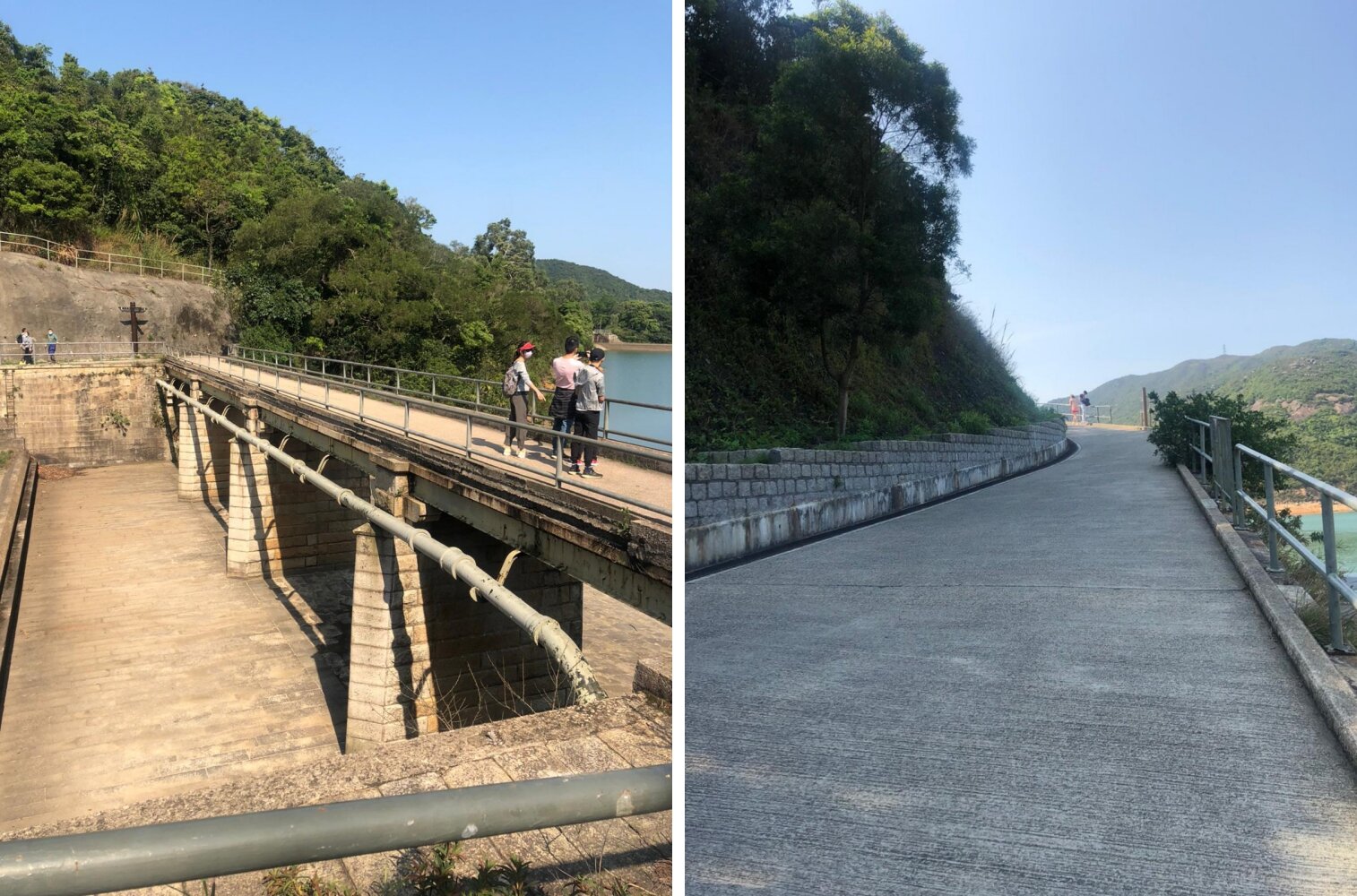
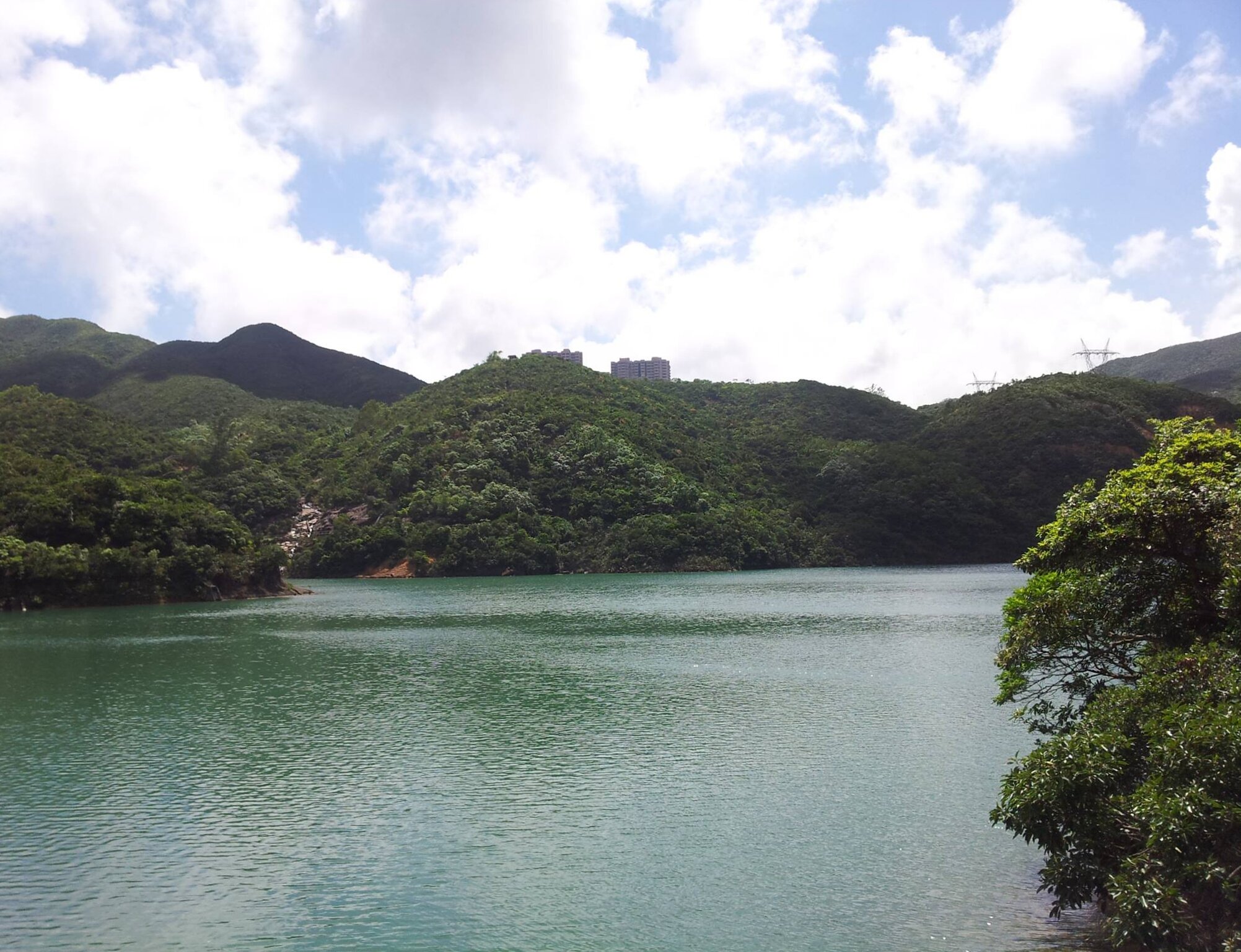
Tai Tam Reservoir locates in Mount Parker. It was built between 1883-1917, and it is an important freshwater supply for Hong Kong’s urban development. This place once served as a battleground during World War II. Bunkers, pillboxes and wartime stoves can be found around this area too.
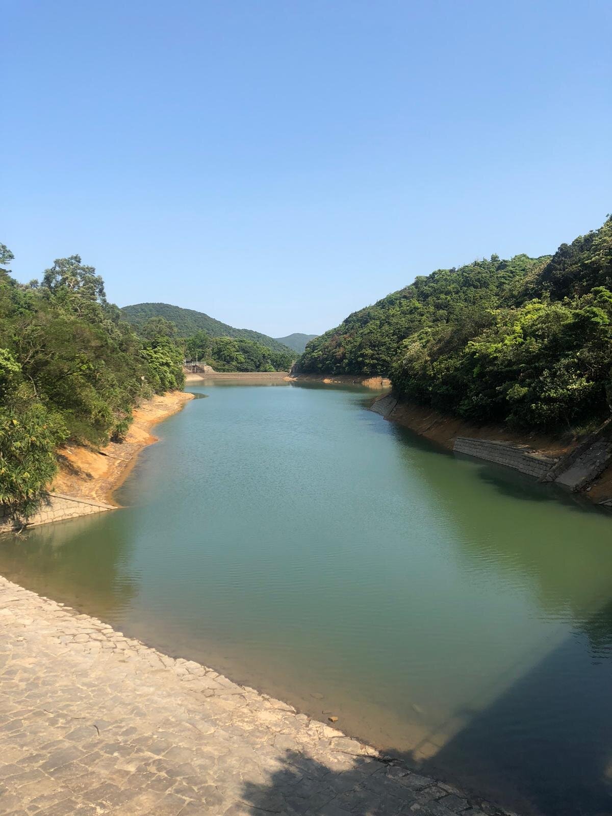
If you’re lucky and if the weather allows it, you may be able to witness the stunning reflections of the bridge pillars and hills on the mirror-like water surface. Also, pick the right time to go there. Going on a weekend may not so ideal as you will be greeted by plenty of hikers unless you don't mind it at all.
USEFUL INFORMATION ABOUT THE HIKE VIA BRAEMAR HILL
DURATION - 2.5 HOURS - 3 HOURS
DISTANCE - 8.8 KILOMETRES
DIFFICULTY LEVEL - Moderate
CELLPHONE/ INTERNET COVERAGE - Everywhere
WATER LEVEL - 1.5L
STARTING POINT - Braemar Hill
FINISHING POINT - Tai Tam Road
HOW TO GET THERE
To get your way to Braemar Hill, take the green minibus 49M at Tin Hau Station (Exit A or B).
The minibus stop is at the Tin Hau Public Transport Interchange.
Alight at the Braemer Hill bus terminal. Cross the street and start walking down the path along with the Joan Arc School.
HIKE DIARY
BRAEMAR HILL TO SIR CECIL’S STREAM
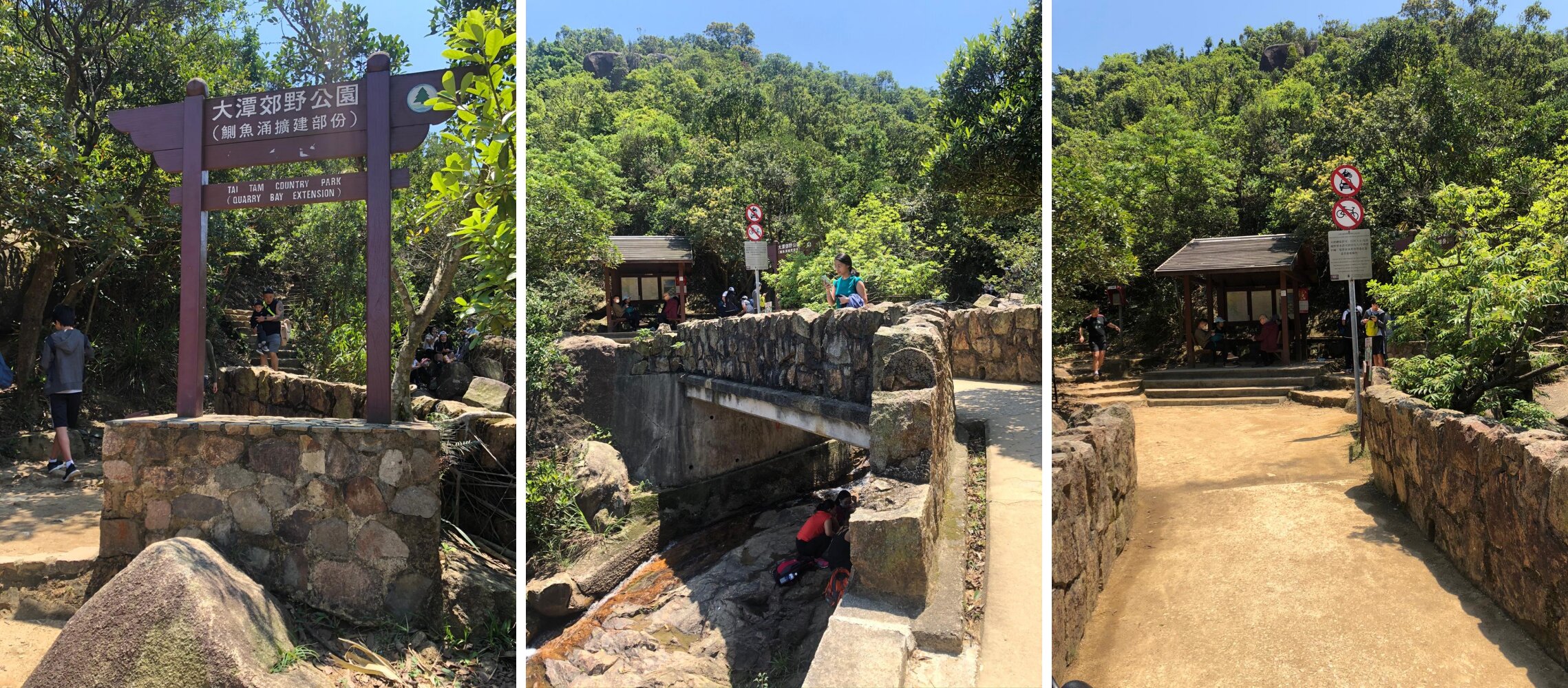
Upon alighting the minibus, walk across the street behind the school and follow the hiking path then turn left and continue walking. The trail is mostly flat and some stairs in between the walk. It will take about 15-20 minutes to reach Sir Cecil’s Stream.
Once you reach the stream, there is a resting place for you to take a quick rest or you may simply proceed your hike as you wish.
HIKE THROUGH THE STREAM
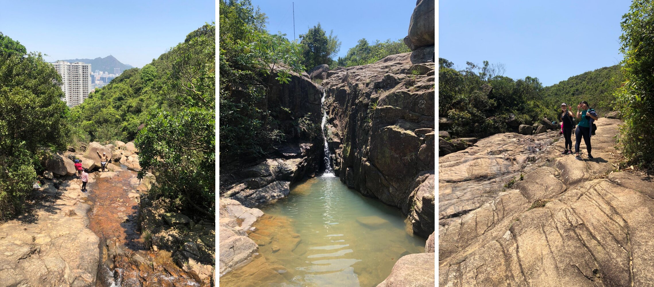
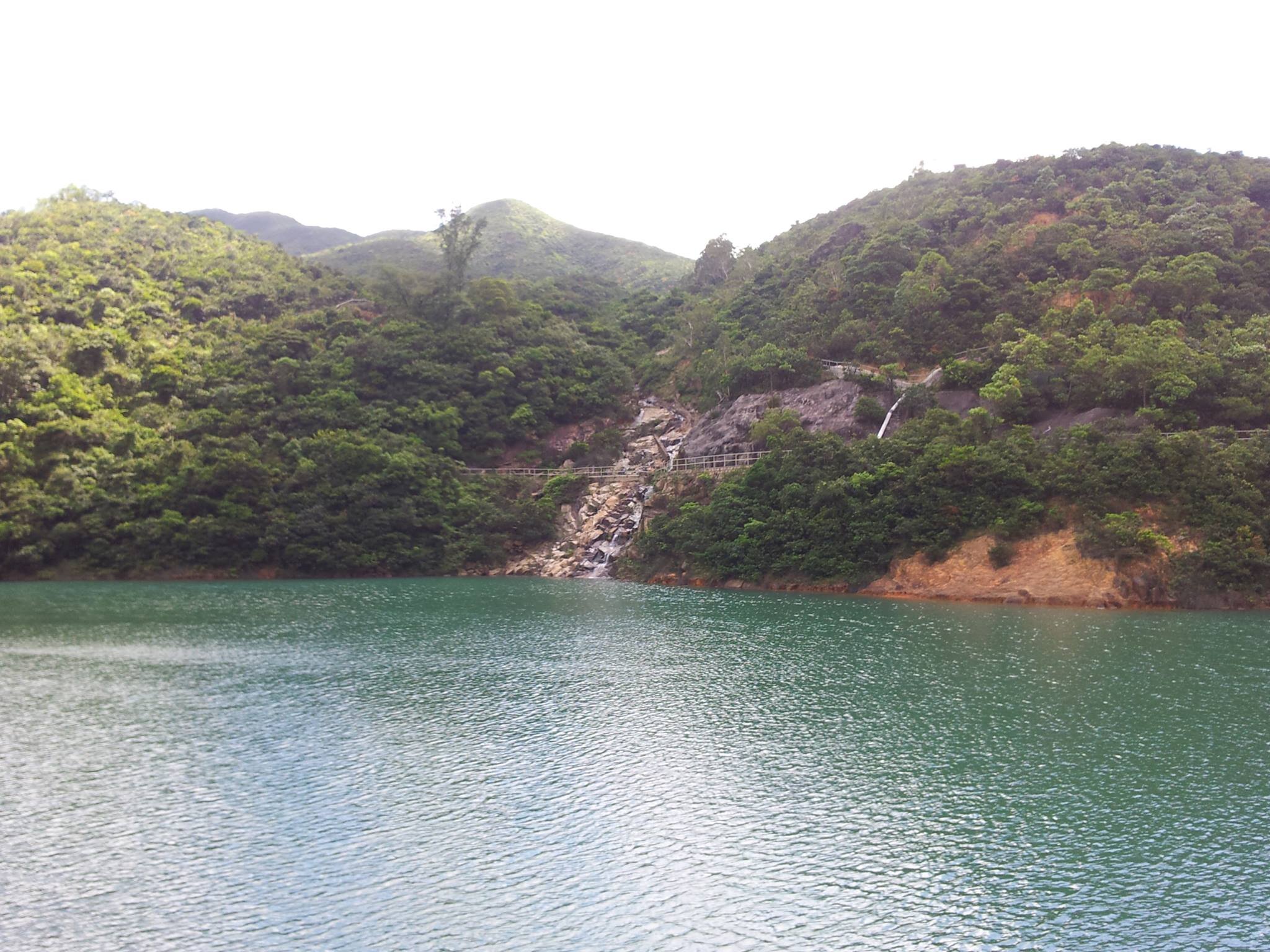
If you are looking for some adventure then hiking through the top via Sir Cecil’s Stream is your direction. There are many enormous and small rocks around the stream, so be very careful where you step and find the best way to pass through. Following this route can take slightly longer, especially if this is your first time. It can last for 20 to 30 minutes. You’ll pass by one or two short waterfalls along the path.
You will know when the stream ends once you start walking on the flat and grassy surface. Continue your way to Siu Ma Shan Bridge.
PASSING THROUGH SIU MA SHAN BRIDGE TO THE HILLTOP
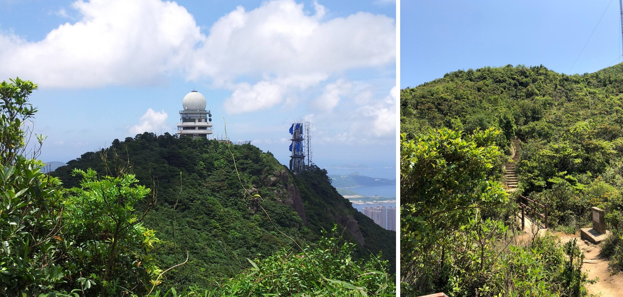
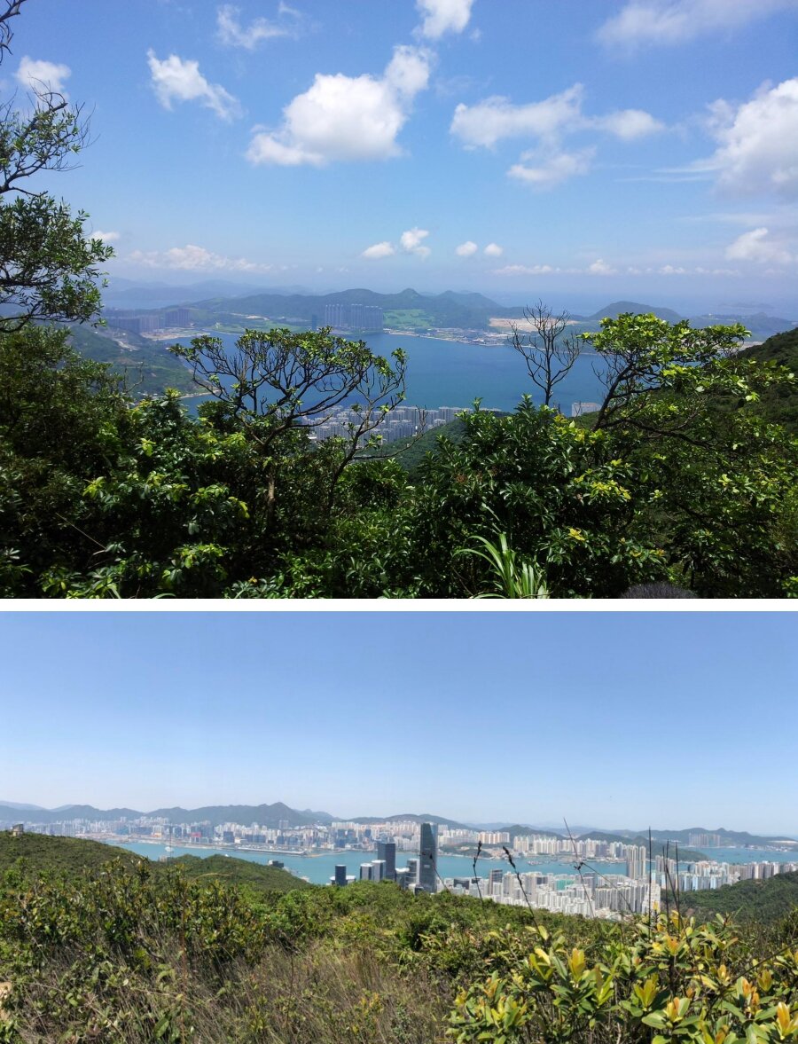
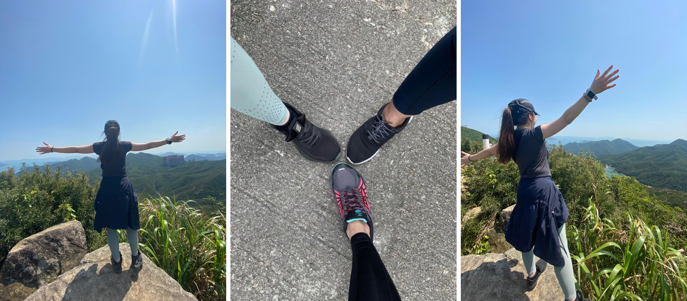
From here, there will be at least 15 minutes to hike up a short hill. This route will bring you to the top and enjoy the beautiful view. It’s not difficult to get up there, but it could be tiring when you’re hiking on hot sunny weather. Be sure to bring along your cap or shades and apply SPF before making your way up there. Take some time to relax, take pictures and appreciate nature once you reach the top.
QUARRY GAP PAVILION
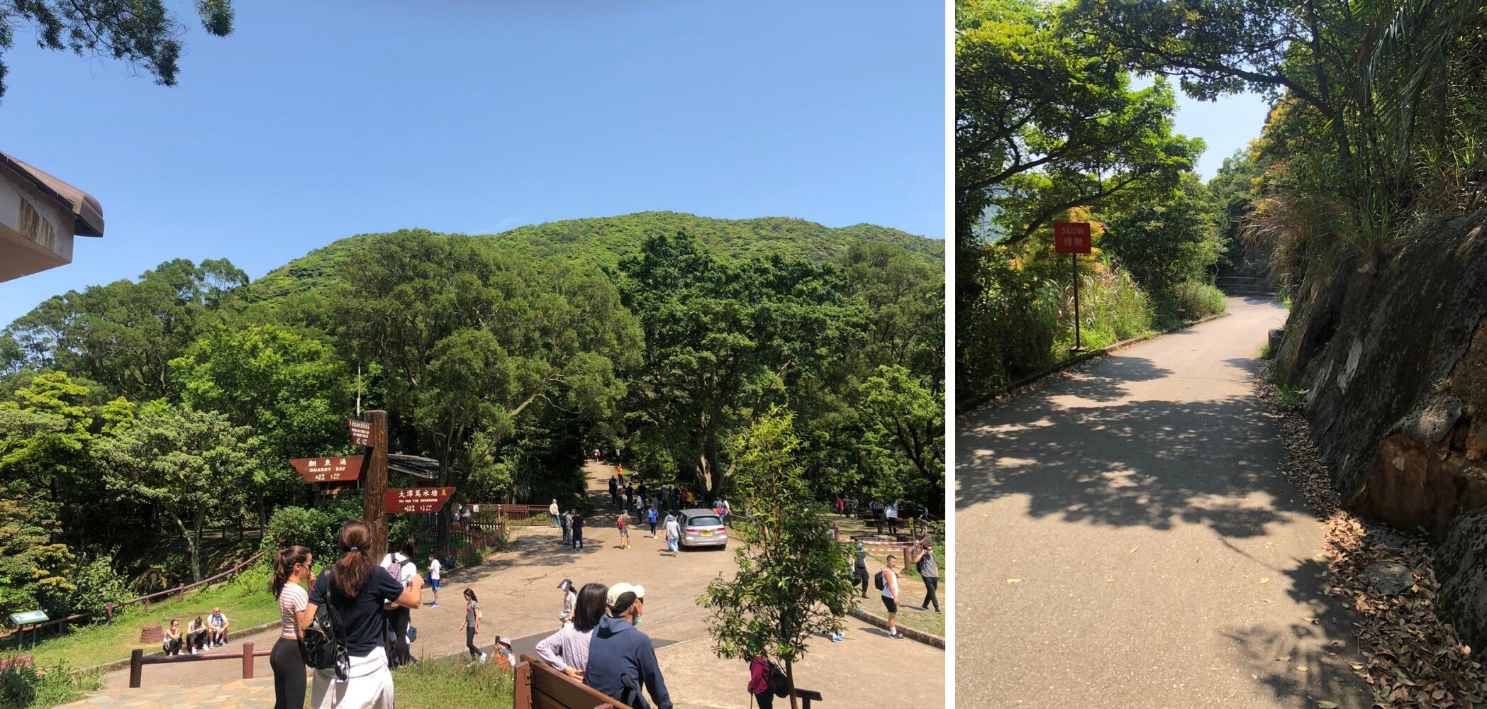
After enjoying the view from the top, it’s time to descend and make your way to Quarry Gap Pavilion. The hike down takes around 20-30 minutes. It’s mostly flat once you head down the hilltop. You will see signs to Quarry Bay and Tai Tam Reservoir. Be sure to follow the right path. There are also some public toilets available around the pavilion.
TAI TAM RESERVOIR
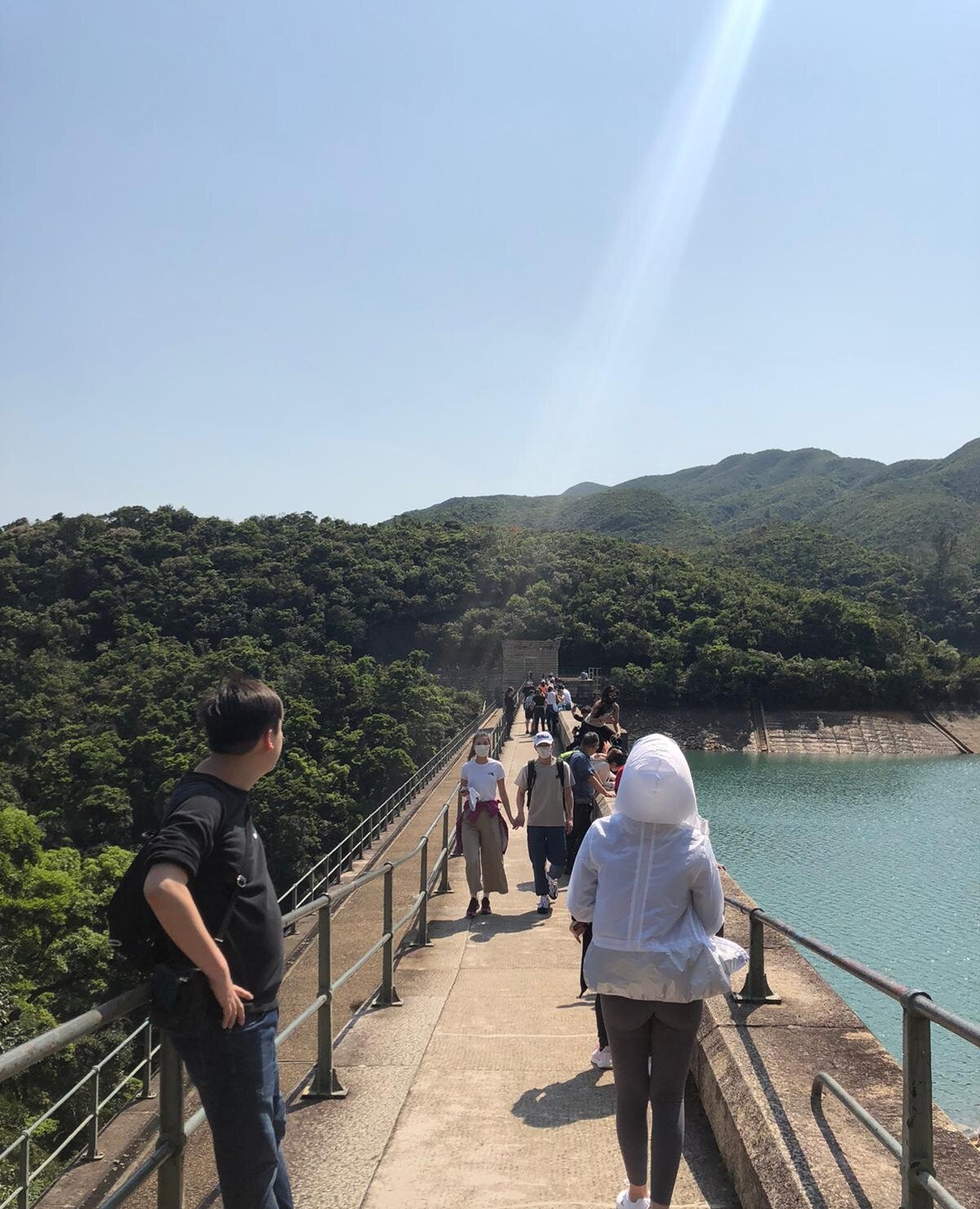
It will take around another 20-30 minutes to finally reach the reservoir and to the dam. It’s a long walk from thereon. You will get to witness how fascinating and unique Tai Tam Reservoir is.
The long bridge is the famous one as this is where people mostly stops to take pictures or to enjoy the calm water. However, if you decide to go there on a weekend or public holiday then expect to see a big crowd, and you probably won’t be able to fully enjoy the view all to yourself or with a few others.
ENDING THE HIKE VIA TAI TAM ROAD
Once you're ready to leave the reservoir, you may follow the Tai Tam Road route to get back to the city. It may take around 30-40 minutes to walk down Tai Tam Road. From there you may walk until you reach a bus stop and take bus number 14 to Sai Wan Ho MTR or minibus 16X, 16M or 16A to Chai Wan MTR.
Be careful when you’re walking to the bus stop as there is no designated pedestrian path, so walk on the right-hand side of the road and watch out for cars. You may come across some taxis if you’re lucky.
OVERALL EXPERIENCE
I have been to Tai Tam Reservoir twice, and I enjoyed them both. The first hike was in 2013, and it was slightly tiring. The second time was relatively easy. I reached the reservoir via Quarry Bay the first time and from Braemer Hill the second time.
My favourite part was clambering through the giant rocks along the stream. It was exhilarating and a memorable one. Tai Tam Reservoir is one of my favourite hiking spots in Hong Kong, so doing it for the second time was completely great for me. It was exceptionally convenient to get there and a relaxing place to be. I would not mind hiking back there for the third time after a few years.
Yours Truly,
Michelle Chan


